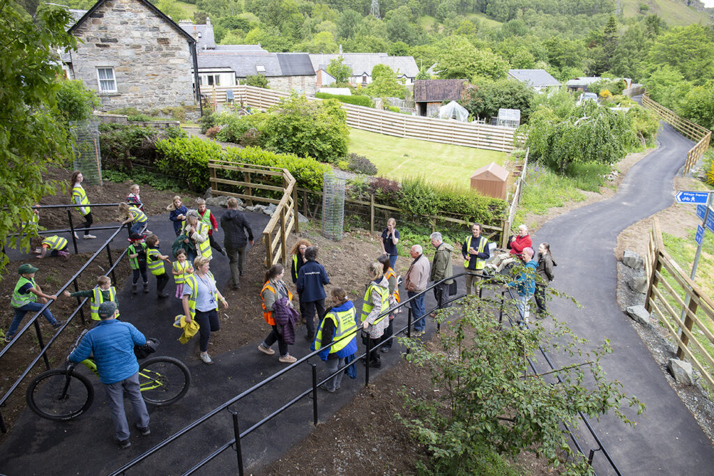
Final submissions for Places for Everyone Concept (Stages 0-2) applications are due by the end of August 23rd 2022.
Ahead of this, Heads of Programme Chiquita Elvin and Simon Strain outline the key changes to the Places for Everyone application process and answer a number of questions from applicants.
Key questions answered
- How essential is it for local authorities to submit Expressions of Interest for new projects?
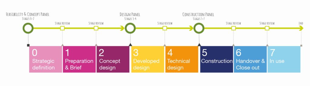
Expressions of Interest allow applicants to receive a quick response on whether their project proposal aligns with the aim of Places for Everyone, thereby reducing the time expended on a full application for a project proposal that is not eligible. - If a project is being delivered as a trial within a calendar year, what stage should this be submitted to: 0-2, 3-4, 5-7?
We consider trials from stages 0 to 4, therefore it would be 100% funded. If you’re needing to run trials to decide on a preferred option, then we’re happy to discuss this with you to determine which stage the trial would be most appropriate. - Will Sustrans consider retrospectively funding projects?
For consistency and transparency, we’ll be looking to only be funding work into the future or yet to happen. - If your Expression of Interest is unsuccessful, can you make amendments to your proposal and still apply through the portal?
Yes, Places for Everyone can provide feedback on why the project was considered ineligible. Changes can then be made in response to this feedback and a second expression of interest submitted to reassess eligibility. - Is the fund open to local authorities only or can community councils/groups apply if they have a proposal?
The fund is open to applications from community organisations including community councils, development trusts and more. We would encourage interested parties to read the guidance for community organisations. - If we have undertaken Concept (Stages 0-2) with another agency, should we still submit our expression of interest?
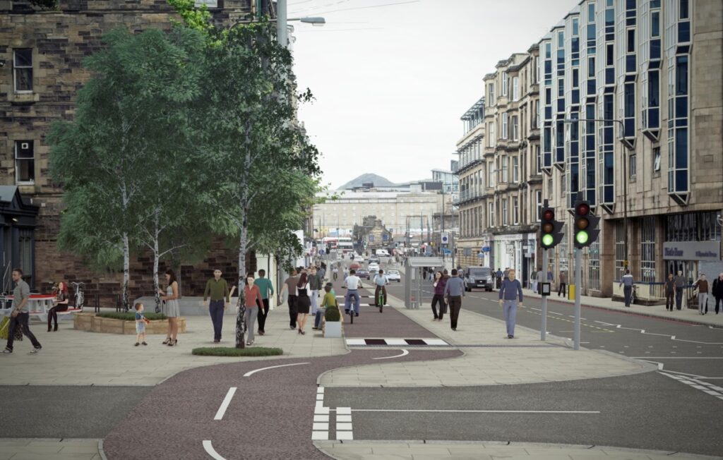
Yes, the expression of interest assesses the project’s eligibility for funding. Please refer to the deliverables for stages 0-2 to assess if all deliverables have been sufficiently met by the previous agency. - Have you increased your standards (i.e. paths should be a minimum of 3 metres in width)?
Working to the standards specified in Cycling By Design, the width of paths in our projects should be appropriate for the estimated levels of usage. The benefits of a wider path enable improved comfort, travelling side-by-side, social experiences, and more robust infrastructure. However, we recognise there are barriers to development, such as width constraints, geological constraints, and land ownership. We promote a width of at least 3 metres wherever possible. - Is there support available to go over draft applications ahead of submission?
This service is not currently available, though we wish to organise this in future – recruitment is ongoing. Currently, we can offer technical support for all applicants, and additional application support for community groups. - Due to heritage constraints, it’s not easy to build cycle infrastructure (e.g. cycle lanes on setted streets). Will this type of project be scored lower or will this be something that is taken into consideration?
Scoring for this type of project would not be affected. We would encourage consideration of alternate routes that utilise streets that are un-setted, safer or more suitable. - Is there any additional support for community groups with the application?
We have organised three Applicant Information Sessions for community organisations during week commencing Monday 15th August 2022, which are available to community organisations who have submitted an expression of interest and were successful at this stage.
Full slides from the session can be downloaded below: