Responding to a crisis
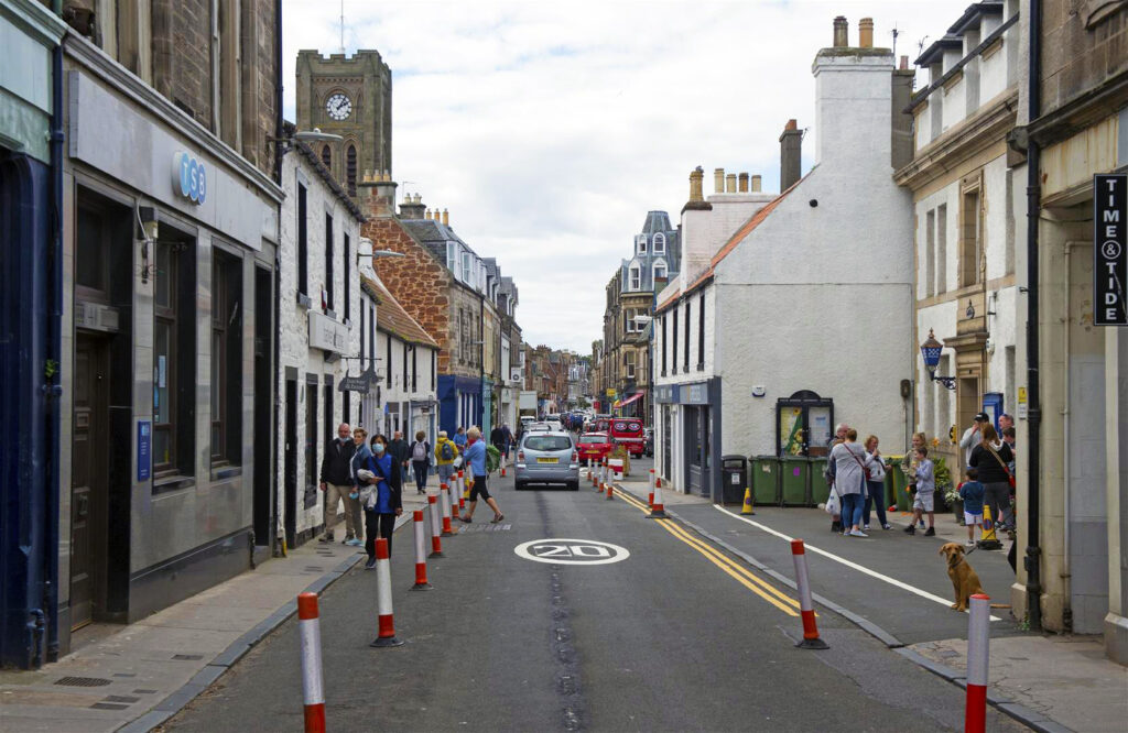
With the advent of the Covid-19 pandemic, the scarce amount of space allotted to people across Scotland’s towns and cities is firmly in the forefront.
Attempting to maintain a two-metre physical distance from other pavement users whilst navigating by foot or wheel can be a nuisance at the best of times and an impossibility at others.
In aid of this, Sustrans’ Spaces for People programme, funded by the Scottish Government, has distributed almost £40 million to local authorities to provide temporary infrastructure to help people walk, wheel and cycle.
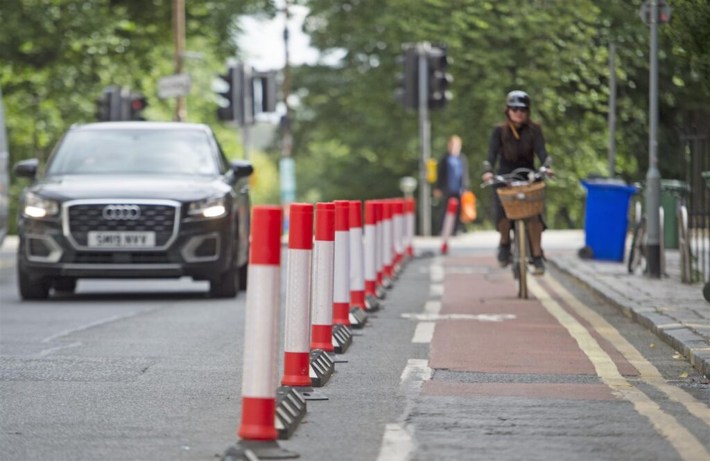
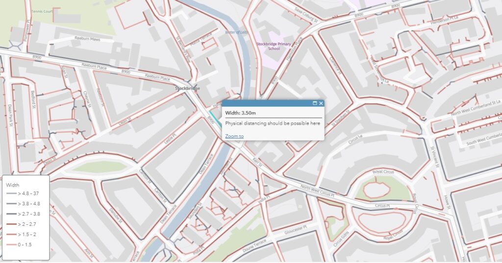
With a common bid by local authorities’ being to widen public footways, Sustrans have set to calculate and map pavement widths in towns and cities through Scotland to help identify potential crowding pinch points and support physical distancing.
Early mapping in Edinburgh
In 2010, City of Edinburgh Council began work on developing an Active Travel Action Plan, a long-term city-wide project to improve the accessibility and safety of walking, cycling and wheeling infrastructure.
One of the ways Sustrans has been assisting the council with this ambitious project is by undertaking the painstaking work of mapping individual pavement widths throughout the city.
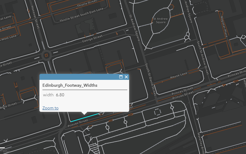
Princes Street allows 6.8m of pavement width. However, for such a busy street this often is not enough 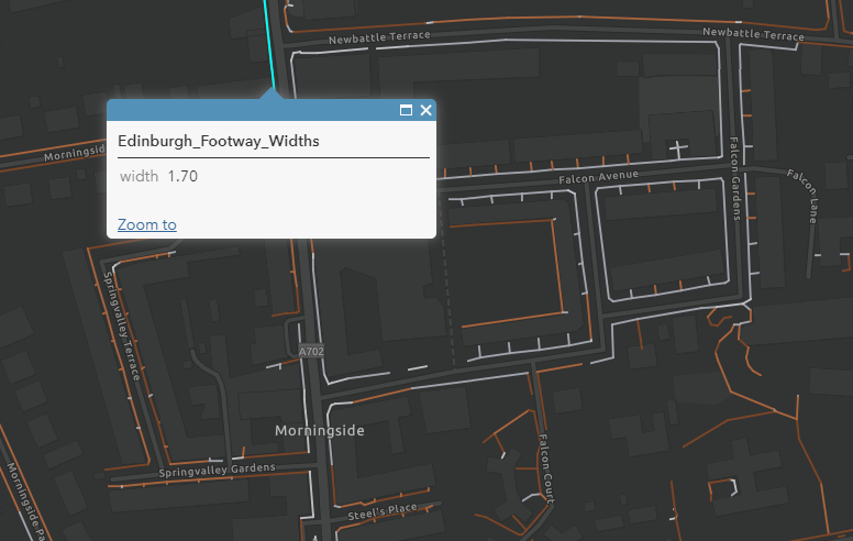
Morningside Road has been widened with traffic wands in several locations in order to bolster the 1.7m width the pavement currently allows for. 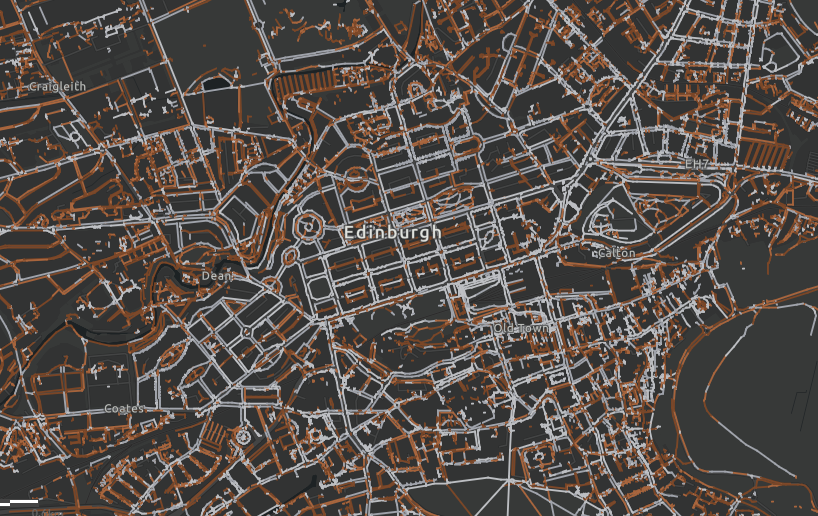
Edinburgh is an historic and densely packed urban centre within which pavement widths vary greatly.
With physical distancing guidelines now in effect as a matter of public health, the construction of a working pavement width database for the whole of Scotland has taken on a new urgency.
Once lockdown was announced, Sustrans accelerated work on providing City of Edinburgh Council with a comprehensive dataset of pavement widths.
This was achieved by adapting code developed for New York to complement Ordinance Survey data.
From this initial success, Sustrans has been able to develop further datasets for Glasgow, East Lothian, Dundee, East Ayrshire and South Ayrshire, with the offer being extended to any other local authorities who would find such data useful.
The coding process
Infrastructure Coordinator for Sustrans Alasdair Anderson was a key player in developing the mapping datasets. As lead on the project, he explains:
“The Python code used to do the analysis utilised Ordinance Survey’s most detailed Mastermap Topograpic Area mapping.
This identifies pavements and paths within a given local authority and accomplishes the surprisingly difficult task of measuring the width of an irregularly shaped object by using a tailored algorithm.
By first calculating the centreline for each of the thousands of bits of pavement that have already been identified, the algorithm then measures the distance back from individual pavement centre point to the pavement edge to calculate the width.
Finally, the results are compiled into a GIS dataset which can be analysed statistically or displayed on a map”.
Alasdair Anderson, Infrastructure Coordinator, Sustrans
Using the data
An immediate benefit of this data is that it can be used to help people navigate routes which only follow wider pavements.
For example, Sustrans officers have been looking to use pavement widths data to enable them to plan led walks with volunteers or school children once lockdown restrictions are sufficiently eased.
The larger impact, however, of these mapping capabilities is apparent when the data is combined with other information in order to identify the narrowest or busiest streets in order to prioritise them for widening interventions.
While the £38.97 million available under the Spaces for People fund is a lot of money, it is not nearly enough to widen every pavement in Scotland. As such, working out how to prioritise pavement widening initiatives becomes crucial.
| Pavement distancing description | Width | km | % |
| Easy | >4.7m | 133.97 | 4 |
| Comfortable | 3.8 to 4.7m | 105.93 | 3.1 |
| Possible | 2.7 to 3.8m | 362.75 | 10.7 |
| Difficult | 2 to 2.7m | 608.84 | 18 |
| Too narrow | 1.5 to 2m | 975.01 | 28.9 |
| Less than minimum design guidance | <1.5m | 1192.8 | 35.3 |
| Total ‘difficult’ or narrower | <2.7m | 2776.65 | 82.2 |
Applications in Dundee
One of the first practical applications of Sustrans’ pavement mapping capabilities took place in Dundee city centre.

A dataset of shops and services in Dundee was first created. This was then overlaid with the footway width dataset Sustrans had created to help identify narrow pavements where high footfall was likely to occur. From this, a unique set of Covid-19 emergency proposals for shopping streets in Dundee was able to be generated.
Using these emergency proposals, Sustrans was then able to highlight particular areas where it would be most crucial to prioritise pavement widening interventions.

Looking forward
Looking beyond the Covid-19 pandemic, the datasets Sustrans has created provide local authorities with an invaluable resource with which to maximise the benefit of footway renewal programmes.
Initial progress can be made by first focussing on pavements which fall short of 1.5m, normally considered to be the minimum.
Interventions in areas such as these would improve accessibility for those with additional mobility support needs immensely, such as those manoeuvring a wheelchair or a pram.
Recent adaptations in the code used to calculate pavement widths have now enabled Sustrans to calculate the widths of entire streets.
This new capability could be instrumental in helping Scottish local authorities understand where it would be most beneficial to deliver cycling infrastructure in the future.
Gallery
Take a look at some of the Scottish towns and cities Sustrans has created GIS pavement width maps for in the image gallery below.
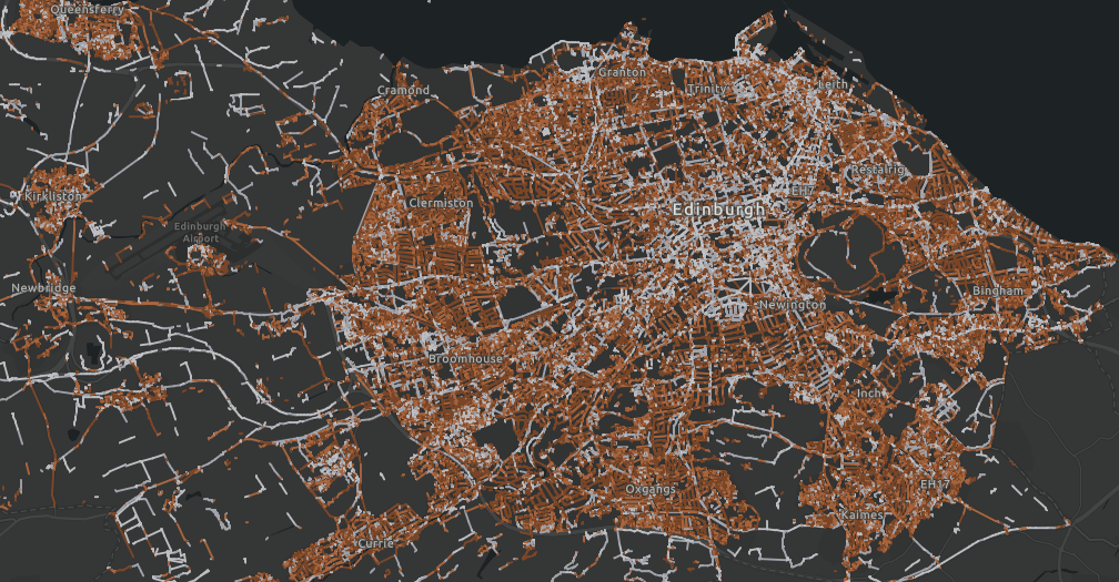
Edinburgh 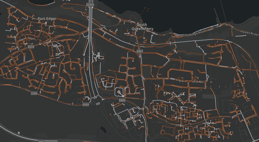
South Queensferry, Edinburgh 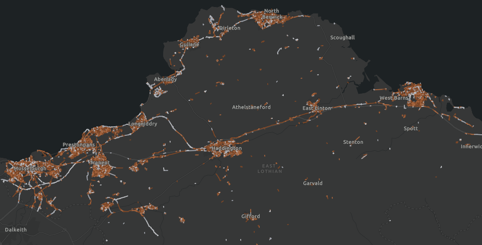
East Lothian 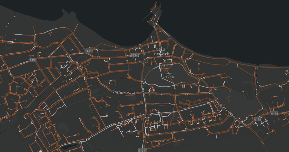
North Berwick, East Lothian 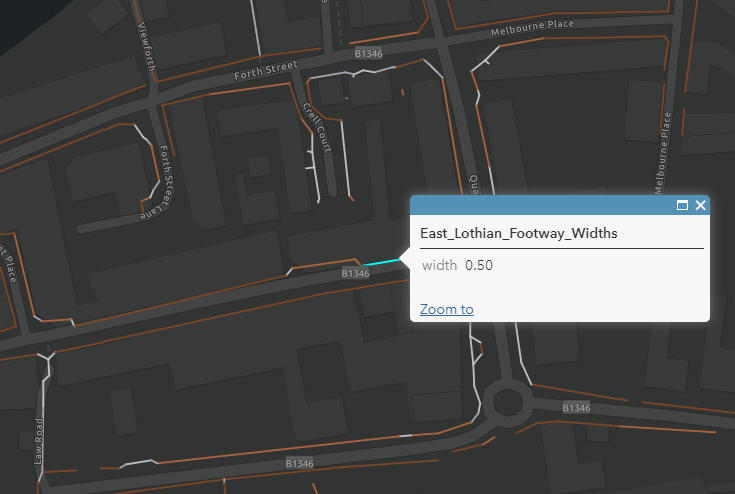
High Street, North Berwick 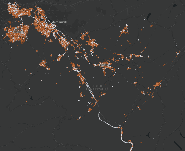
South Lanarkshire 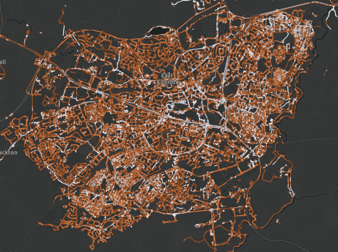
East Kilbride, South Lanarkshire 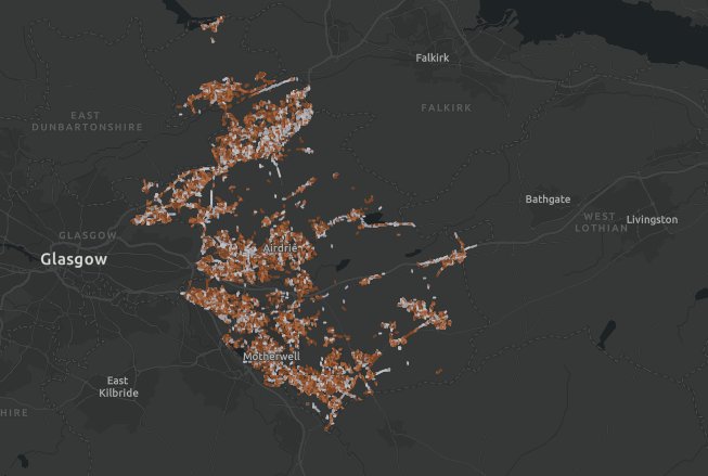
North Lanarkshire 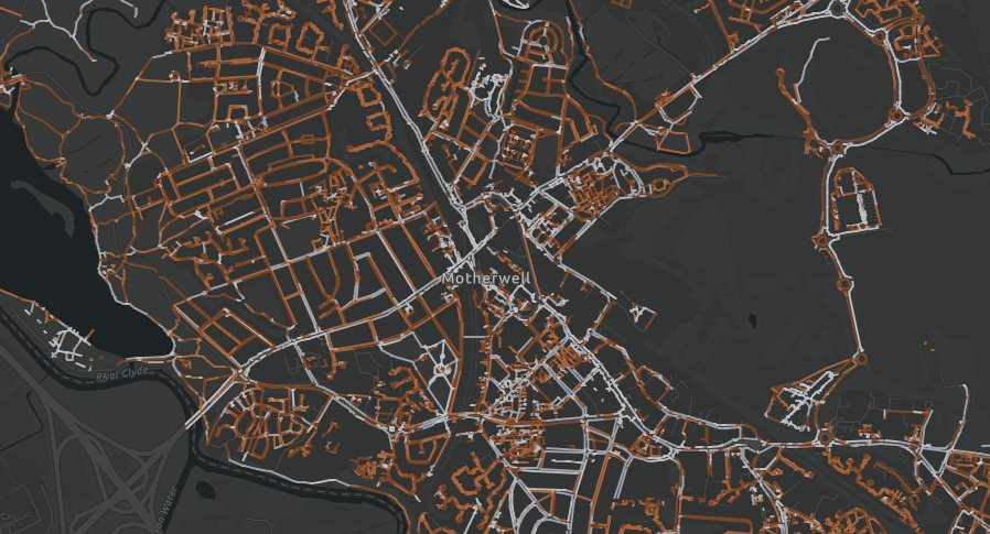
Motherwell, North Lanarshire 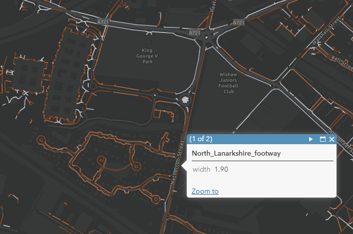
Netherton Road, Wishaw 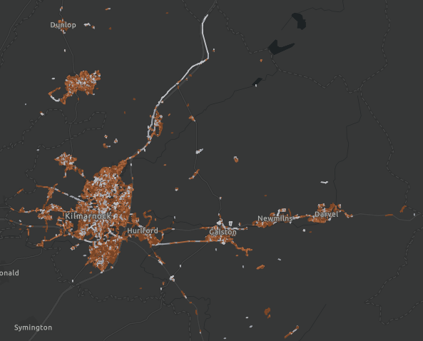
East Ayrshire 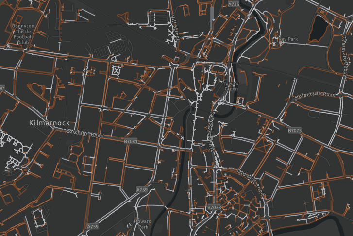
Kilmarnock City Centre 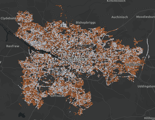
Glasgow 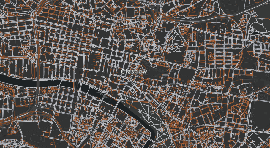
Glasgow City Centre 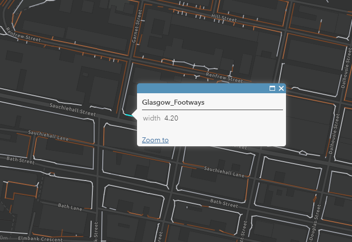
Sauchiehall Street, Glasgow 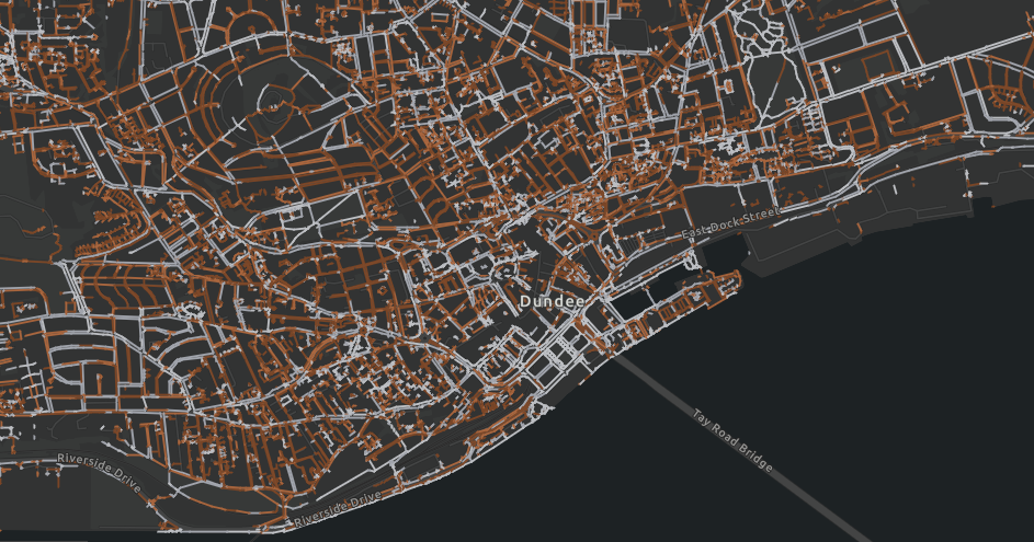
Dundee 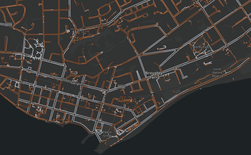
Broughty Ferry, Dundee 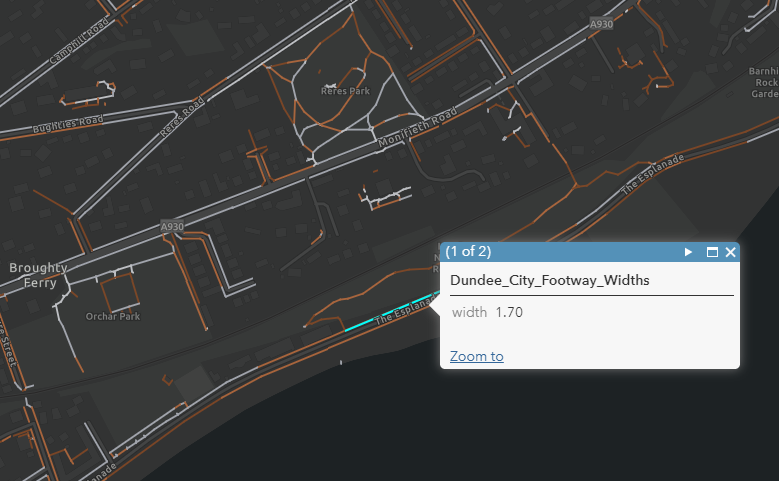
The Esplanade, Broughty Ferry