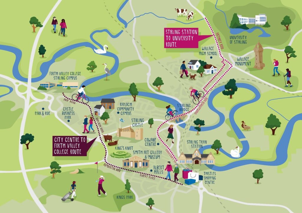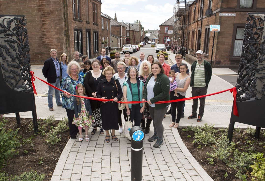
The Dumfries Neighbourhood Street Design project transformed a once-neglected part of Dumfries town centre into a vibrant and high-quality pedestrianised space for people to walk, wheel and cycle.
Developed jointly by residents, Sustrans and Dumfries and Galloway Council, the project was delivered in response to longstanding concerns over traffic movement in the Queen Street neighbourhood of Dumfries.
People living and working in Queen Street, McLellan Street, Brooke Street and Cumberland Street closely guided the changes carried out in their neighbourhood from initial design ideas through to the construction process.
This resulted in the installation of innovative artwork, traditional Victorian street lighting, gateways and a touch of greenery in the form of trees and planters.
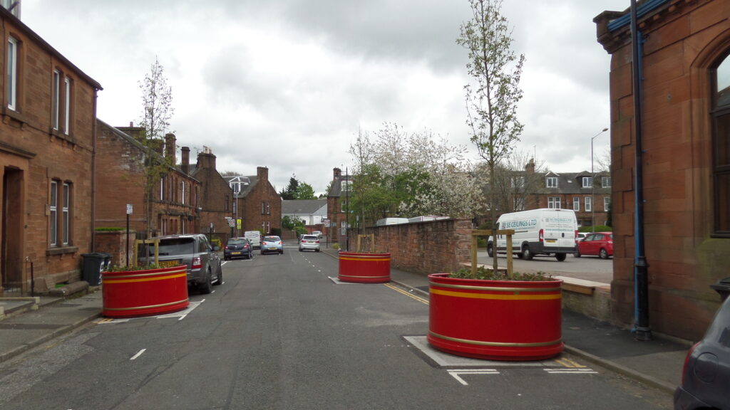
The project also saw changes made to the road layout of all four streets and the area outside Theatre Royal on Shakespeare Street, including the addition of raised tables, wider pavements and street furniture.
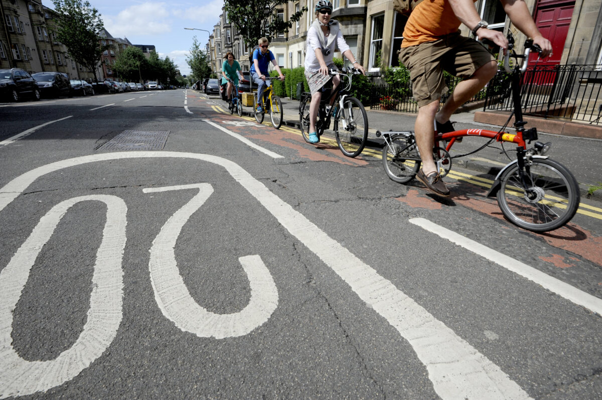
This helped make the streets safer and more attractive for people to walk, wheel and cycle.
A collaborative effort
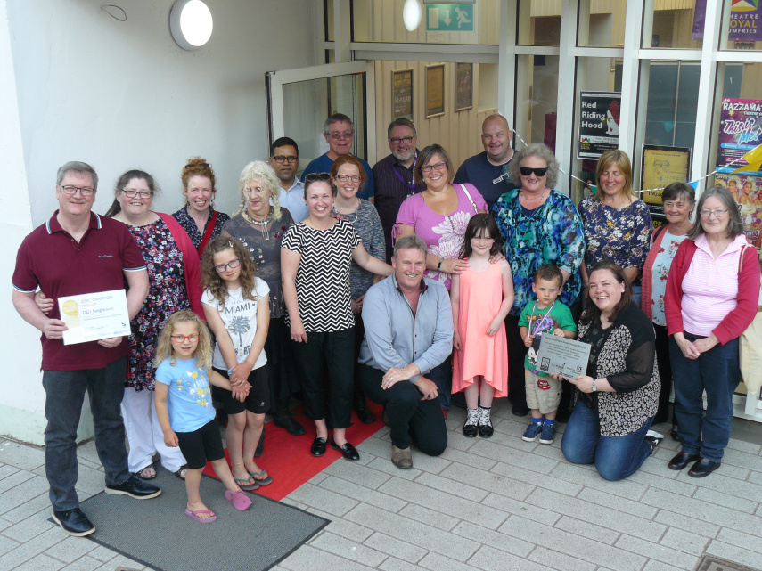
The team at Sustrans worked closely with the local community at each stage of the project to deliver the community’s vision for their local area.
A variety of engagement methods were used, including competitions, workshops, on-street consultations, guided bike rides, pop-up installations, and a ‘Big Lunch.’
The activities were specifically designed to bring people together, to inspire long term interest in their neighbourhood, to strengthen social connection and empowerment, and to co-design solutions.
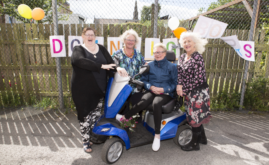
During the project, residents of the area decided to form a constituted community group, DG1 Neighbours, which continues to undertake neighbourhood improvements even after the initial project was itself completed, such as the creation of a community garden.
Sustrans’ aim was to build up trust and learn about the community – getting people out of their houses, meeting their neighbours and bringing them together.
This approach achieves far more than better street design: it gives communities a sense of empowerment, momentum, and community cohesion.
Voices from the team
Paul Ruffles, Principal Designer at Sustrans Scotland said:
“This is a benchmark project for high quality collaborative design. This project showcases what can be achieved when communities and partners to work together to build ambition and implement visions for the places they live in.”
“As a result of this project the neighbourhood has become a greener, quieter space with a strong character that celebrates the areas heritage and actively encourages people to spend time in or walk, wheel or cycle through.”
Local community group DG1 Neighbours added:
“It’s great to see the positive changes that have taken place over the past few years in our neighbourhood and the celebration event helped to remind everyone of the transformation.”
“Thanks to Sustrans and Dumfries and Galloway Council for their determination to see the project through to the end. More residents are taking pride in the neighbourhood and they are even starting to adopt the on-street planters.”
“We now look forward to formalising our community group and building on the successful outcomes of this project.”
The project was jointly funded by Dumfries and Galloway Council and Sustrans with funding from Transport Scotland.