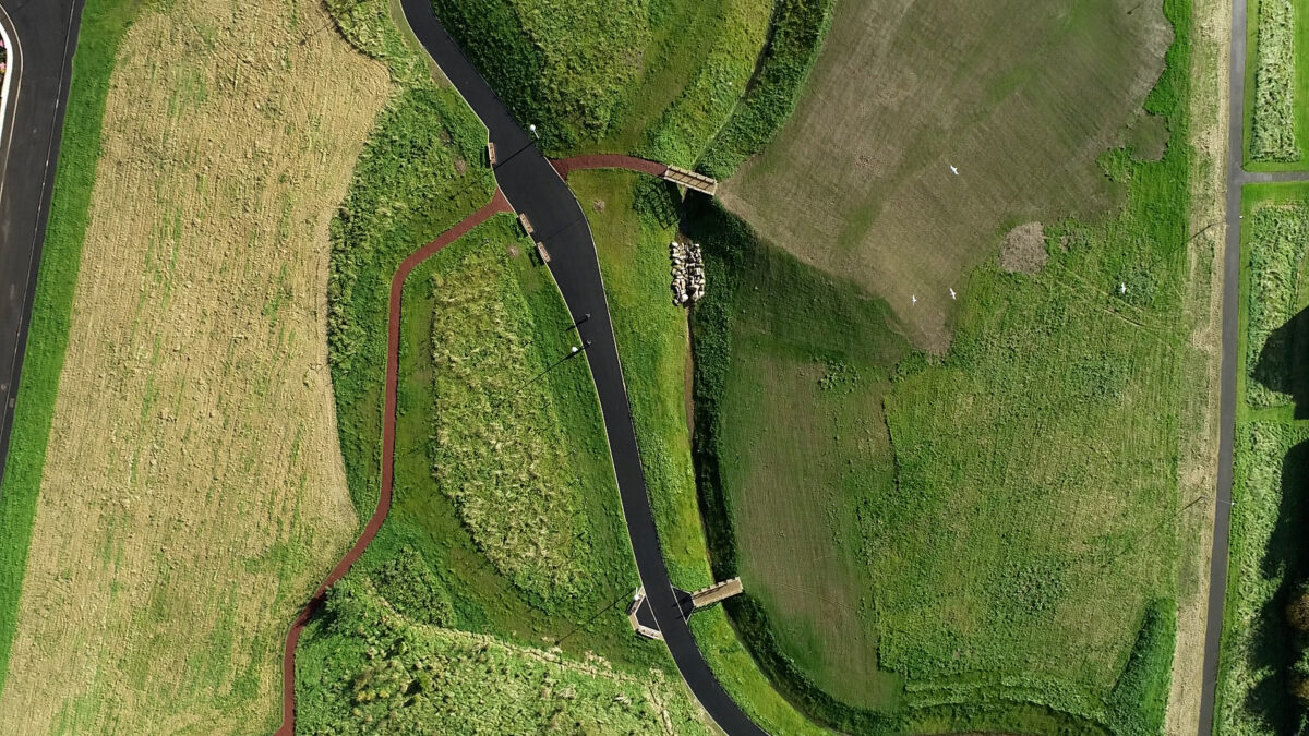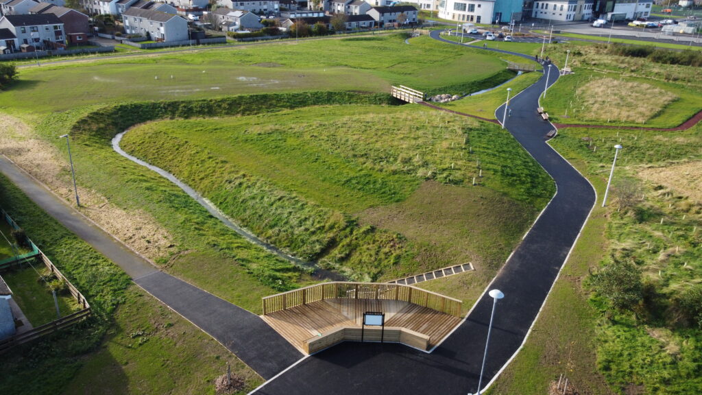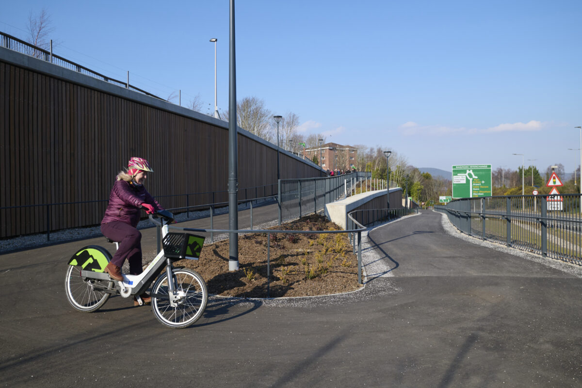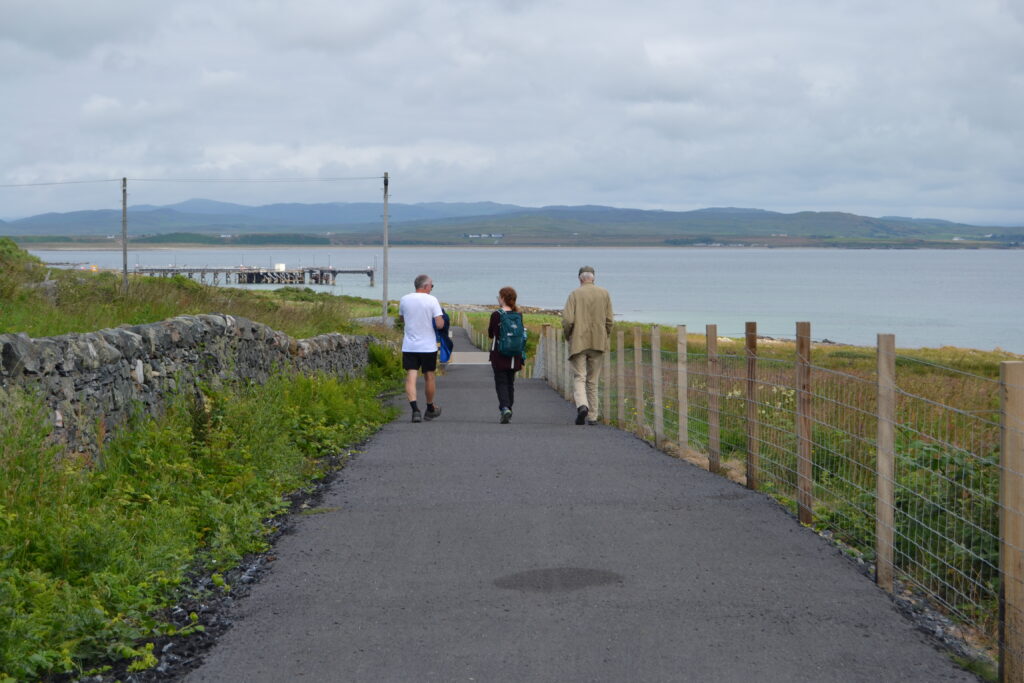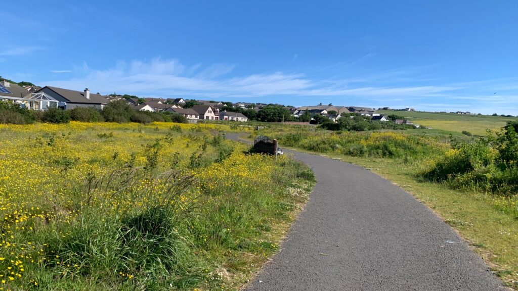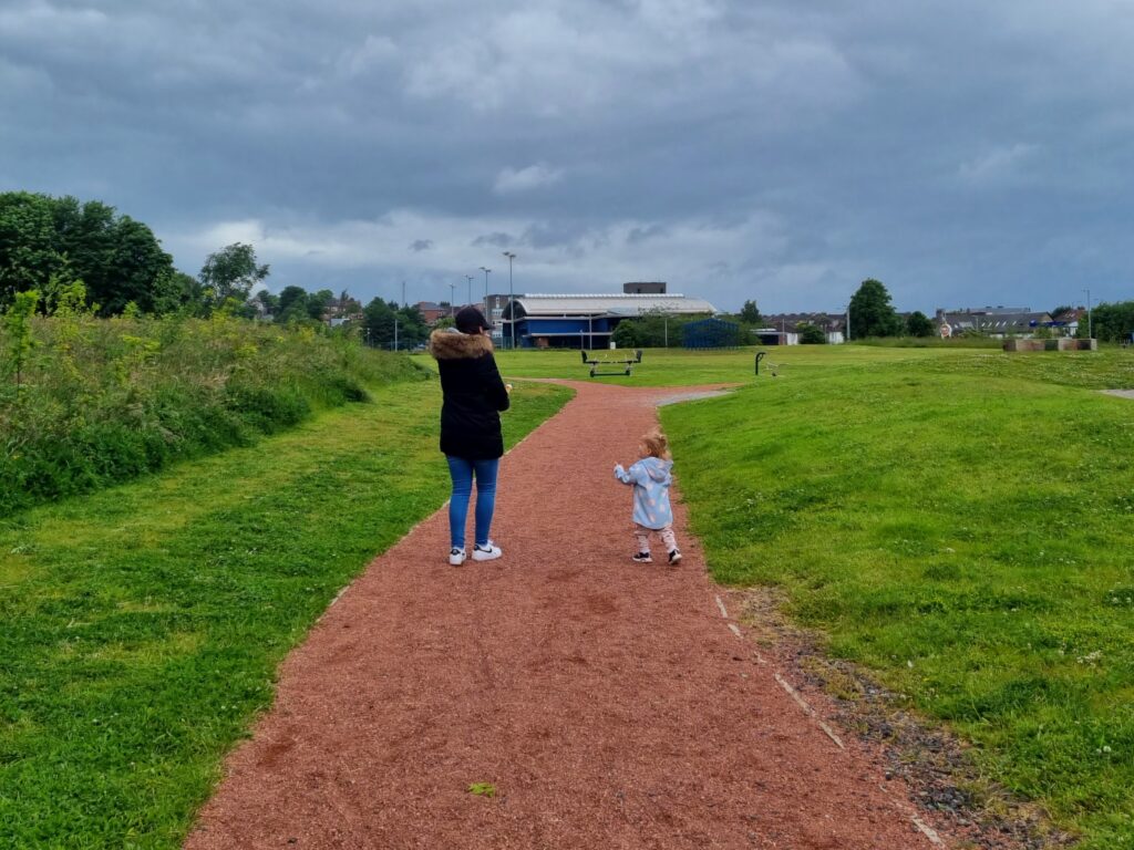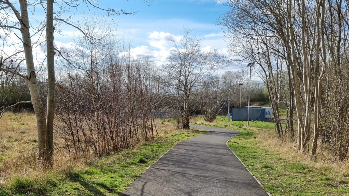
The Wishawhill Wood path links the suburb of Craigneuk in North Lanarkshire with Wishaw town centre via a high-quality active travel route.
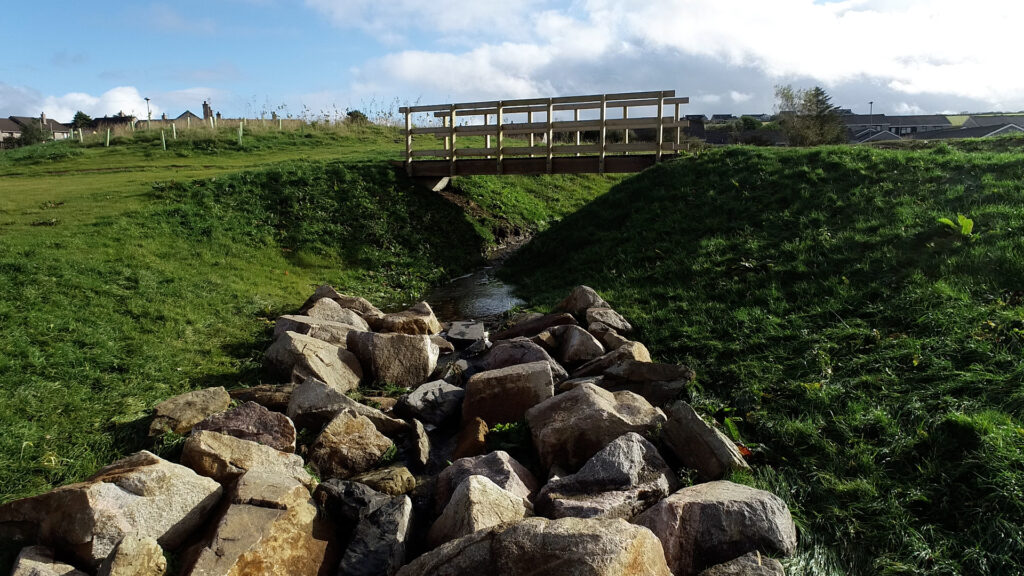
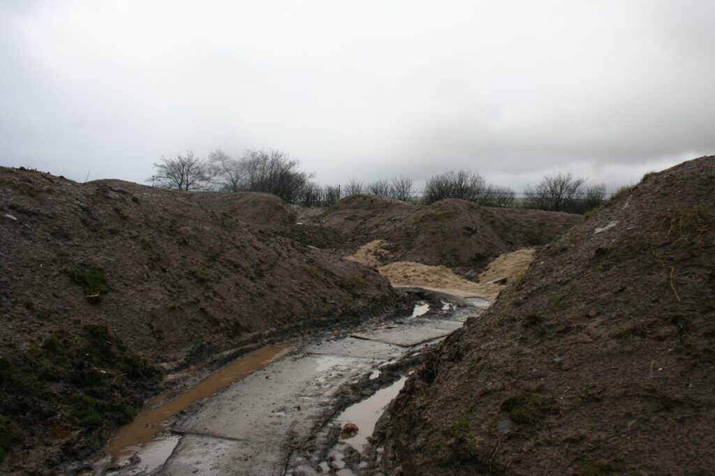
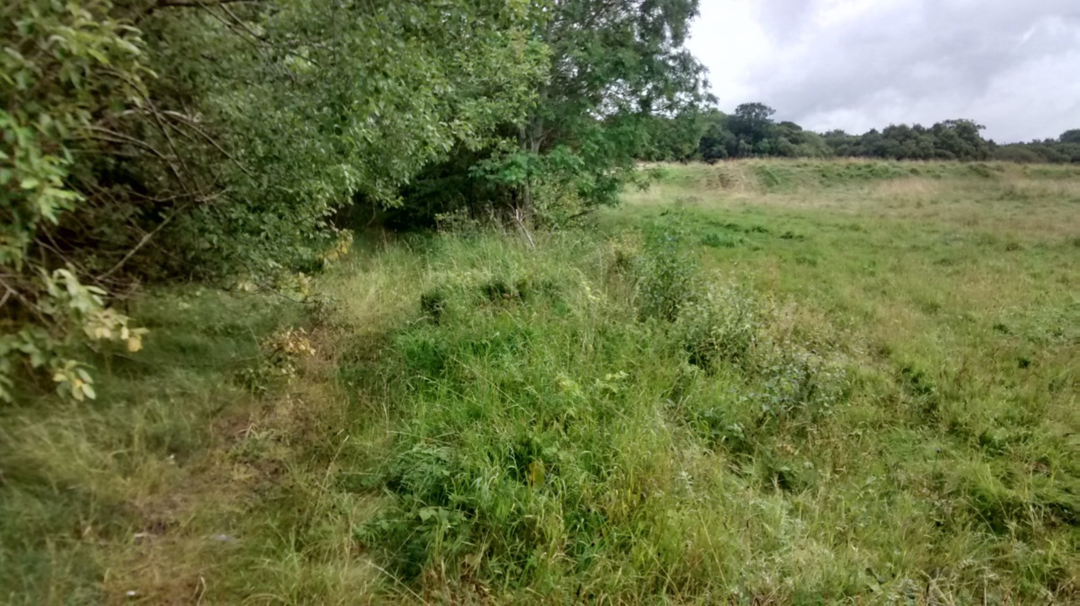
Previously, the only option for walking, wheeling and cycling away from the busy road, and without the use of an inaccessible footbridge over the railway, was a muddy and overgrown path.
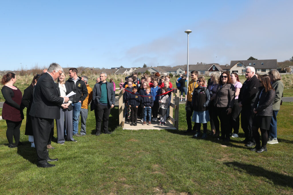
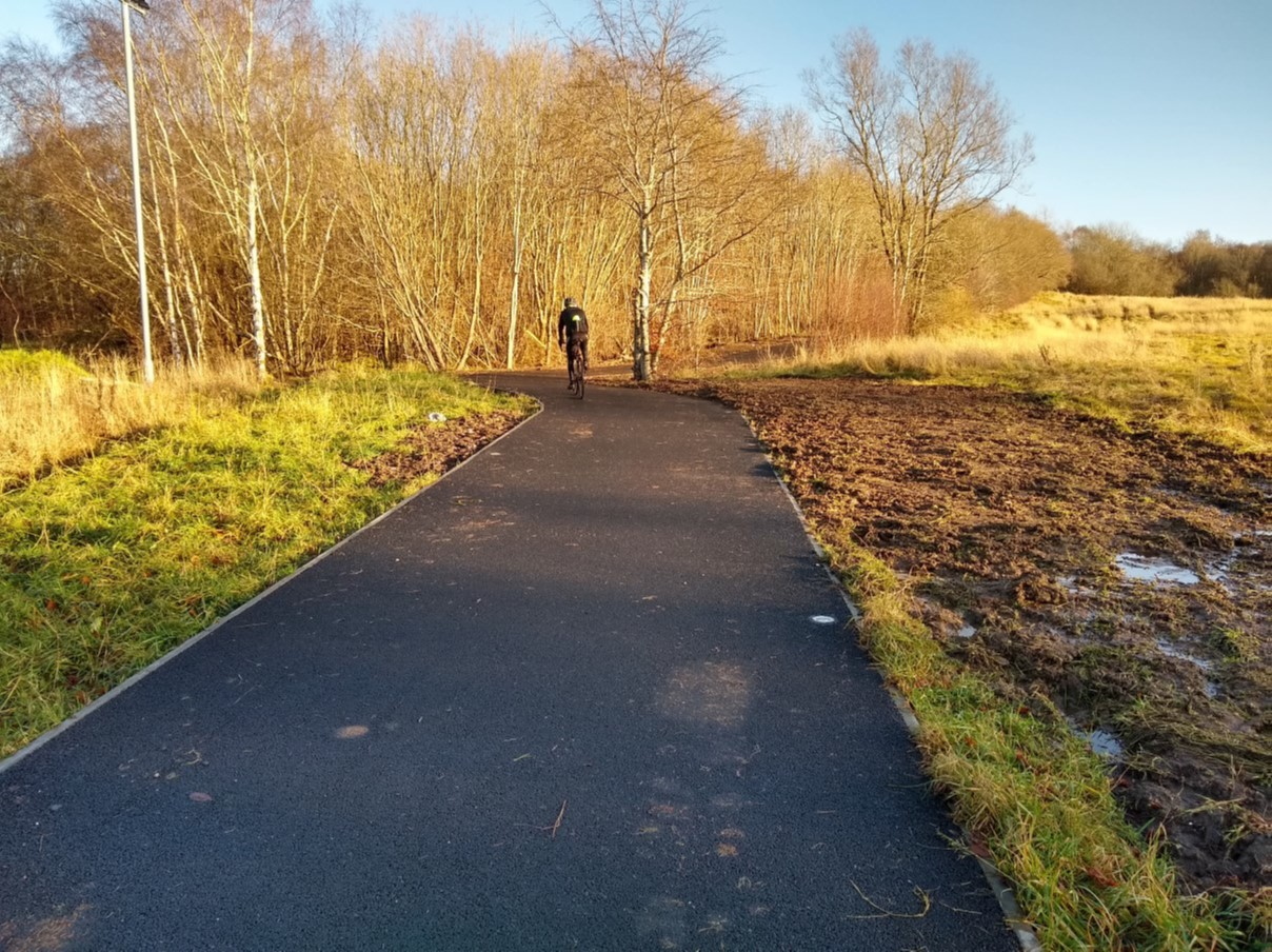
Construction on the new route was completed in 2020.
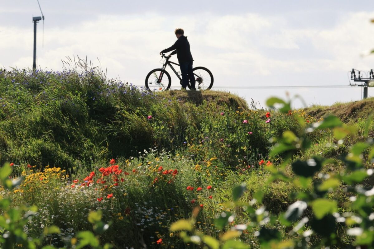
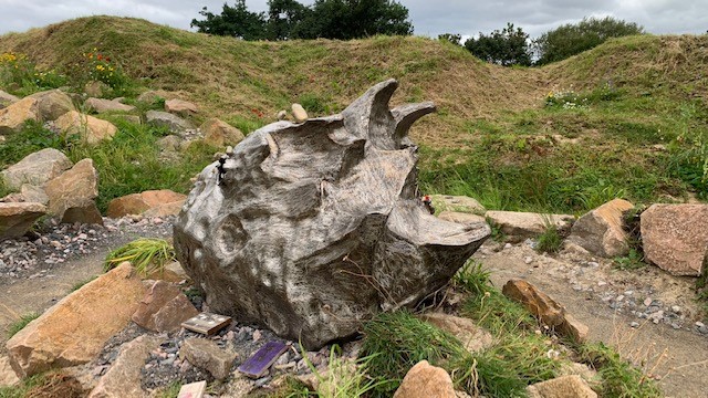
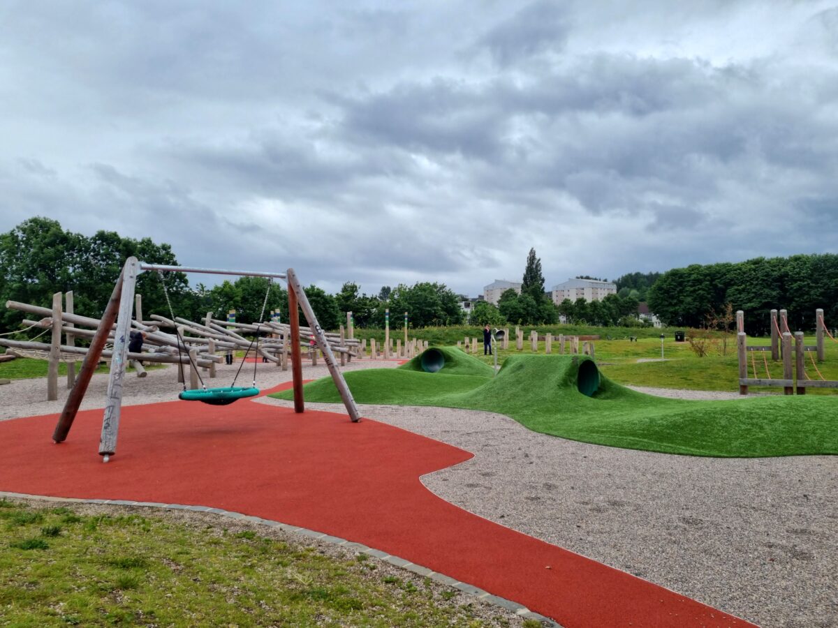
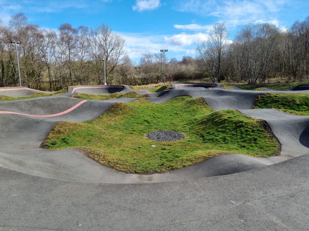
It has since provided a safe and easy way for people of all abilities to travel between Craigneuk and Wishaw, as well as improving access to the local woodland and Wishawhill Wood Pump Track.
The project was led by Green Action Trust (GAT) and part-funded by the Scottish Government through Sustrans Scotland’s Places for Everyone programme. Match funding was provided by North Lanarkshire Council who have also taken on maintenance responsibility for the route.
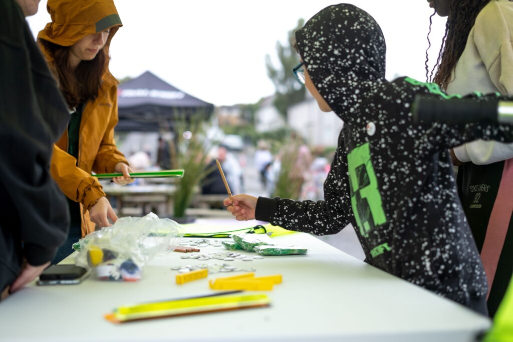
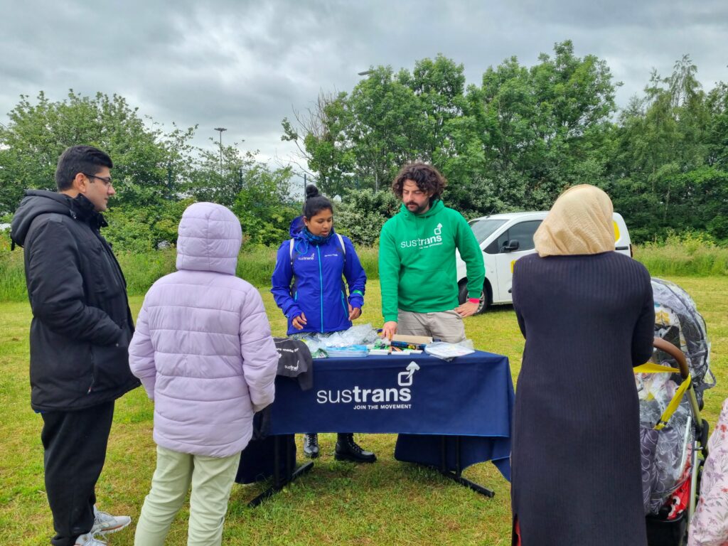
Sustrans’ Research and Monitoring Unit (RMU) evaluated the impact of the project in 2022 by counting and surveying people using the path, as well as interviewing local people and stakeholders.
What were the findings?
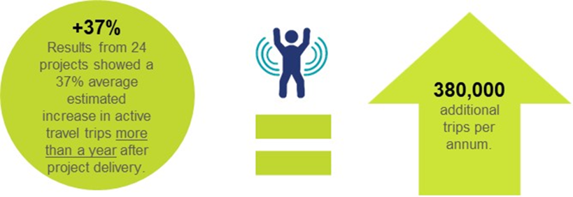
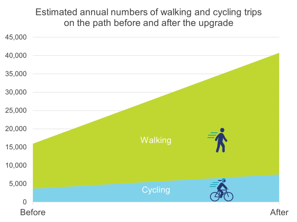
RMU analysis found that the path has contributed to substantially more trips being taken through Wishawhill Wood – particularly by young and older people.
Before the path upgrade, an estimated 16,000 trips were made during 2019 by people passing through or visiting the pump track. After the upgrade, an estimated 41,000 trips were taken during 2022 – about two and a half times as many.
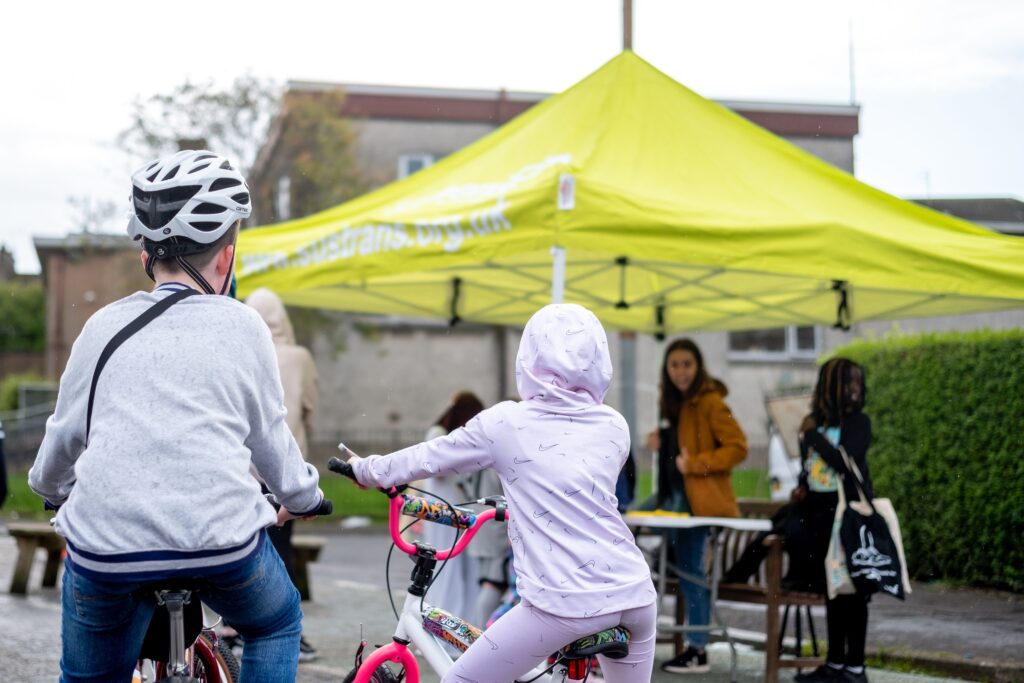
The path is mainly used for recreation and has helped local residents increase their regular physical activity.
In 2022, 40% of survey respondents said they made a journey along the route daily, compared with 15% in 2019.
The path upgrade has also helped people access a much wider range of local services than before.
Many people using the route strongly agreed that it is easily accessible, enhances the area and meets the needs of the community.
85% of respondents said they were walking or cycling because the path was the most convenient route to get to their destination, up from 18% in 2019.
Numbers of people strongly agreeing that the path is well maintained, feels safe and is well lit have also increased, but are still relatively low.
A community asset
Reflecting on the impact upgrading the path has had on the local community, interviewees were positive.
One person told us:
“It’s a great green transport link, in terms of from the centre of Wishaw, right the way down through…it certainly has opened the area up.”
Local resident, Wishaw
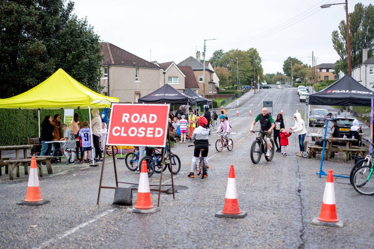
Dan Scott, the Managing Director at Socialtrack, a local social enterprise that encourages people to cycle, scoot, and skateboard, explained how the upgraded path had encouraged pump track users to cycle rather than drive.
“Six lads travelled from another part of Wishaw, which was two miles away from the pump track. The first time they came, six lads came in four cars and then six lads came in three cars, and then eventually six lads came themselves on their own bikes.”
Dan Scott, Managing Director, Socialtrack
Communicating the results
By presenting the findings of the study as a StoryMap, which uses a combination of interactive maps, graphs, voice recordings from local people and “before and after” photos, users can simply and interactively learn more about the project.
The webpage details the story of the path, how it was developed, how it connects people and place, and its impact within the local community.
Alan Boyd, Evaluation Officer in Sustrans’ Research and Monitoring Unit, said:
“We are pleased to share our findings which detail the increase in walking, wheeling and cycling as a result of the path upgrade in Wishawhill Wood.”
“The new path has created a safer and more accessible route for people of all abilities travelling between Craigneuk and Wishaw.”
“We have uploaded our analysis onto a StoryMap for those who would like to find out more about the project. The StoryMap is flexible, so users can zoom in and out of the maps, easily skip to whatever research they find most interesting, and listen to local people discuss the changes that they have seen since the path opened.”
Alan Boyd, Evaluation Officer, Sustrans
Mike Batley, Development Officer at Green Action Trust, added:
“The Wishawhill Wood project has been a great opportunity for the Green Action Trust and partners to make a real difference to people’s quality of life through access to greenspace and active travel.”
“Anecdotally the path has clearly had a positive effect, however this new piece of evaluation has put firm data behind its impact, which is very encouraging for future projects.”
“The StoryMap brings the work to life in an easily understood and engaging way, so I’m delighted to see the results in this format.”
Mike Batley, Development Officer, Green Action Trust
Want to find out more?
Experience the StoryMap or contact monitoring@sustrans.org.uk