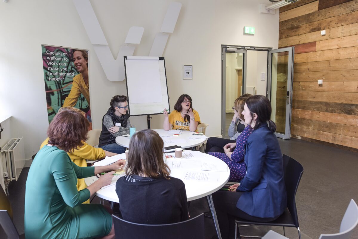
Through our Research and Monitoring Unit, we work collaboratively with partners and delivery teams across Scotland to monitor the impact of a diverse selection of Places for Everyone projects.
In doing so, we are able to gain major insights into the impacts of different active travel schemes and share our findings with Transport Scotland as well as the wider public in the form of baseline and impact reports.
Within these reports, we:
- Address Places for Everyone outcomes by commissioning, collecting, and analysing data on a project level.
- Utilise standardised data collection tools to allow us to aggregate data programme-wide.
- Write summary evaluation reports for selected projects.
- Report on programme outcomes Scotland-wide using aggregated data and case studies from selected projects.
- Provide guidance and training as well as support with the assessment criteria to ensure projects are impactful across the programme.
Below is a library of baseline and impact reports, all of which have been authored by our Research and Monitoring Unit.
Impact Reports

South City Way Monitoring Report
The Glasgow South City Way (SCW) project has delivered a high-quality active travel corridor from the heart of the Southside of Glasgow to the City Centre. Our monitoring results show that active travel has increased and carbon emissions have decreased along the route following construction of the scheme.

Places for Everyone Infrastructure Impact Report 2023-24
The latest data collected by Sustrans reveals new walking, wheeling and cycling links delivered through Places for Everyone have helped improve safety and health as well as reduced inequality and pollution.
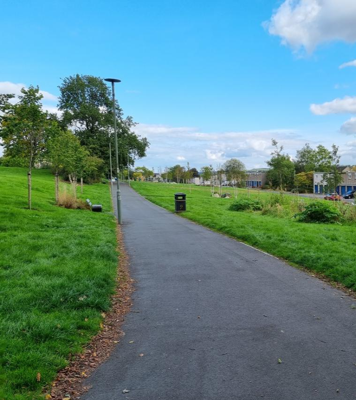
Impact of the Cumbernauld Green Route
The Cumbernauld Green Route has shown how the resurfacing and revival of green spaces can impact the number of people walking, wheeling and cycling. Delivery for this project began in August 2020 and finished in September 2022. Monitoring shows that trips along this route have increased by 20% after project completion.
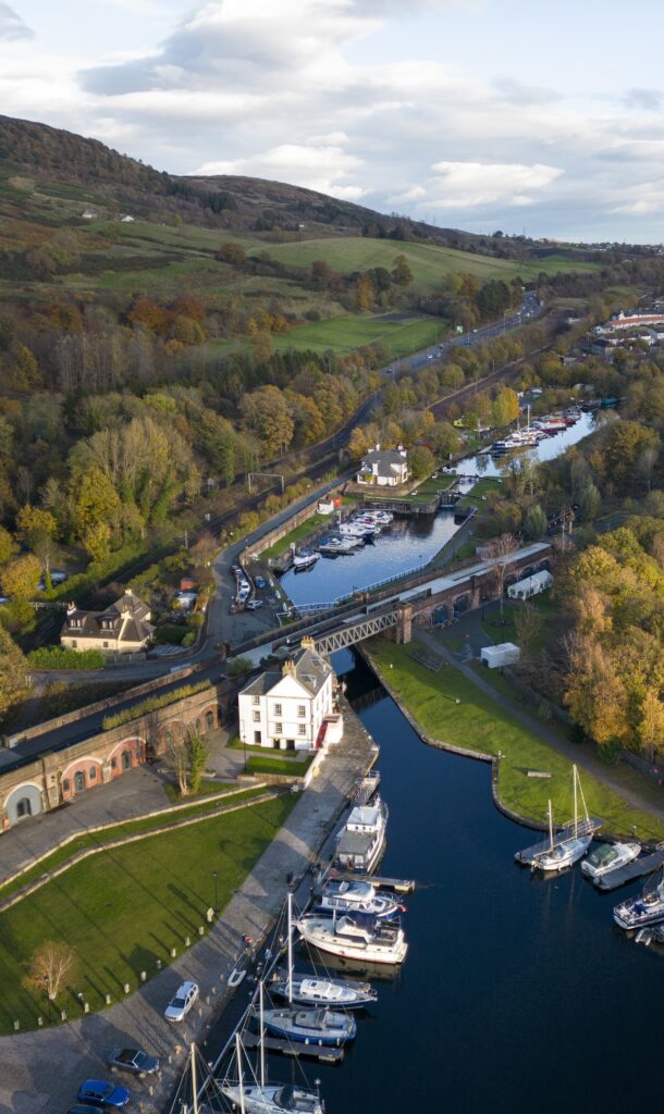
The Bowline at Bowling Harbour
The Bowline project in West Dumbartonshire has transformed the derelict Bowling Viaduct into a high-quality traffic free path with an access ramp and new linear park. Delivery for this project started in 2019 and the Bowline was officially opened in September 2021. Monitoring shows that trips along this route have nearly doubled after project completion.
Places for Everyone Infrastructure Impact Report 2022-23
This report presents the findings of the 2022-23 evaluation of the impact of the Places for Everyone programme, which aimed to assess the contribution of the programme to delivering Transport Scotland’s Active Travel Outcomes and a number of specific PfE outcomes. It draws on programme level monitoring data, aggregated data from a sample of infrastructure projects and five in depth case studies of completed projects.

Places for Everyone Infrastructure Impact Report 2022-23 (Easy Read)
This report is an easy read version of the 2022-23 Places for Everyone Infrastructure Impact Summary Report.
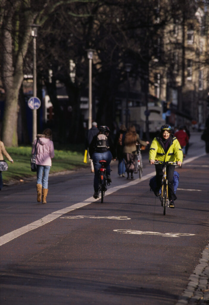
Places for Everyone Infrastructure Impact Report 2021-22
This report presents the findings of the 2021-22 evaluation of the impact of the Places for Everyone programme, which aimed to assess the contribution of the programme to delivering Transport Scotland’s Active Travel Outcomes. The evaluation draws on aggregated data from a sample of 30 projects which were monitored both before and after project delivery throughout the history of the programme.
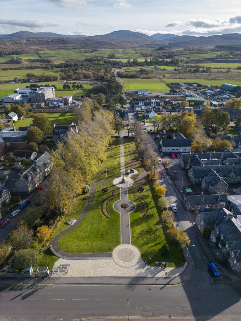
Gynack Gardens
The Cycle Friendly Kingussie ‘Gynack Gardens’ scheme was a child-friendly project which transformed a previously under-used community space in a small rural town into a welcoming public-space and active travel link. The evaluation presents quantitative and qualitative data to evidence the scheme’s impacts, and is notable for using a creative research method (photowalk focus group) to include children’s perspectives.

Lochindaal Way
The Lochindaal Way, formally opened in October 2021, provides a safe, accessible, traffic-free route between the two communities of Port Charlotte and Bruichladdich on Islay. The full report details the results of a programme of monitoring delivered before and after the construction of the path. The summary report is also available.

Lower Granton Road Shared Path
Improvements were made to the path at Lower Granton Road in 2018 and the route was incorporated into the ‘QuietRoutes’ network. This report presents the results of a programme of monitoring conducted to assess the impact of the project against the Places for Everyone outcomes.

Glasgow South City Way Protected Junctions
As part of the Glasgow South City Way project, protected junctions were installed at two locations along the Victoria Road section of the project and were the first such junctions to be trialled in Scotland. This report details the results of a study that looked at pedestrian and cyclist experiences at the junctions and how they impacted the road safety of all users.

Maidencraig Active Travel Links
In 2020, Aberdeen City Council and Places for Everyone upgraded and enhanced the active travel facilities in Maidencraig, a wetland nature reserve to the west of Aberdeen. This report presents the results of a programme of monitoring conducted to assess the impact of the scheme against various outcomes.
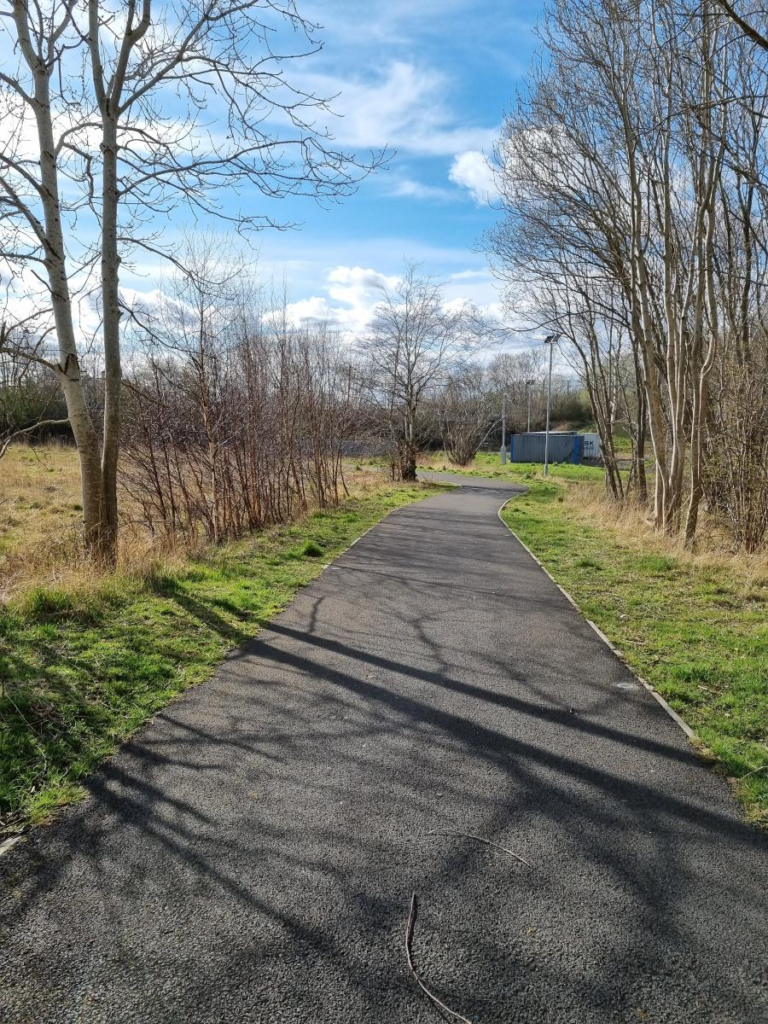
Wishawhill Wood Path
In 2020, a muddy and overgrown track through Wishawhill Wood, North Lanarkshire, was upgraded to a wide walking, wheeling and cycling path that connects the communities of Craigneuk and Wishaw. This report details the impact of the project on local levels of physical activity, engagement with walking and cycling, and the accessibility of the path.
Baseline Reports

Arbroath Accessible Design Qualitative Report
The report presents findings from in-depth interviews and focus groups carried out with members of Arbroath’s disabled community. The research sought to understand people’s current experiences of active travel it the area, as part of broader evaluation research which will assess changes in travel and quality of life in Arbroath due to the ‘Arbroath – A Place for Everyone’ scheme.
The research underlines the need for transforming transport infrastructure and the built environment in favour of inclusive and liveable spaces – both in general terms and with location-specific reference to Arbroath. Check out our blog post here.

Arbroath Baseline Monitoring Report
Arbroath – A Place for Everyone’ is a transformational project for the town, aimed at addressing the historic severance caused by the A92 dual carriageway. By reallocating road space, the project will create a 1.5km active travel corridor with a segregated cycleway and footpath, along with crossings and accessibility improvements.
Our baseline monitoring results highlight the potential for enhanced active travel, accessibility, and liveability throughout the town as a result of this scheme.

Connecting Battlefield Baseline Monitoring Report
The Connecting Battlefield project is being delivered as part of a programme of ambitious improvements for improving access and routes for walking and cycling across the city. This report presents the results of the baseline monitoring conducted before construction began.
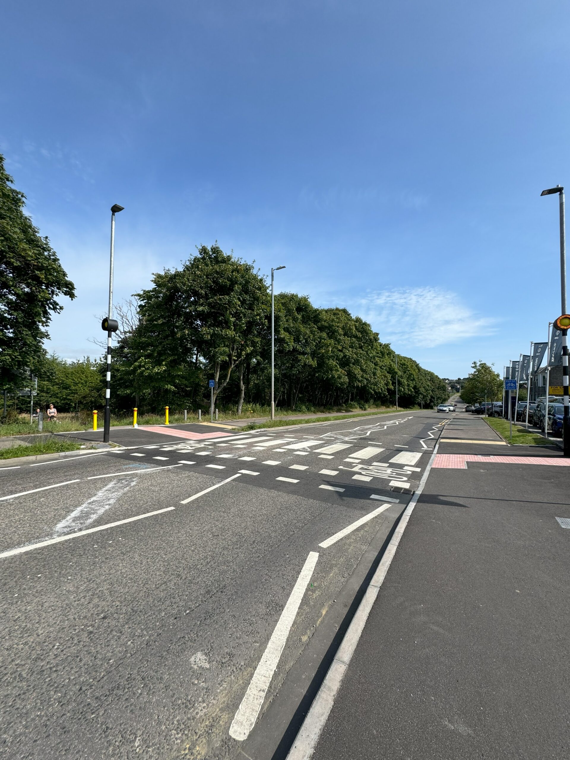
Craigshaw Drive Baseline Monitoring Report
As part of Aberdeen’s Active Travel Action Plan a walking, wheeling and cycling facility along Craigshaw Drive is being constructed between the existing traffic-free Shell Path and A956 Wellington Road to improve active travel opportunities in the area. The project will facilitate cycle movements south of Aberdeen city and improve access to a range of services and employment sites for cyclists. The newly created separated pedestrian and cycle crossings of Craigshaw Drive and Abbotswell Road will provide a safe crossing for pushchairs, mobility scooters and wheelchairs.
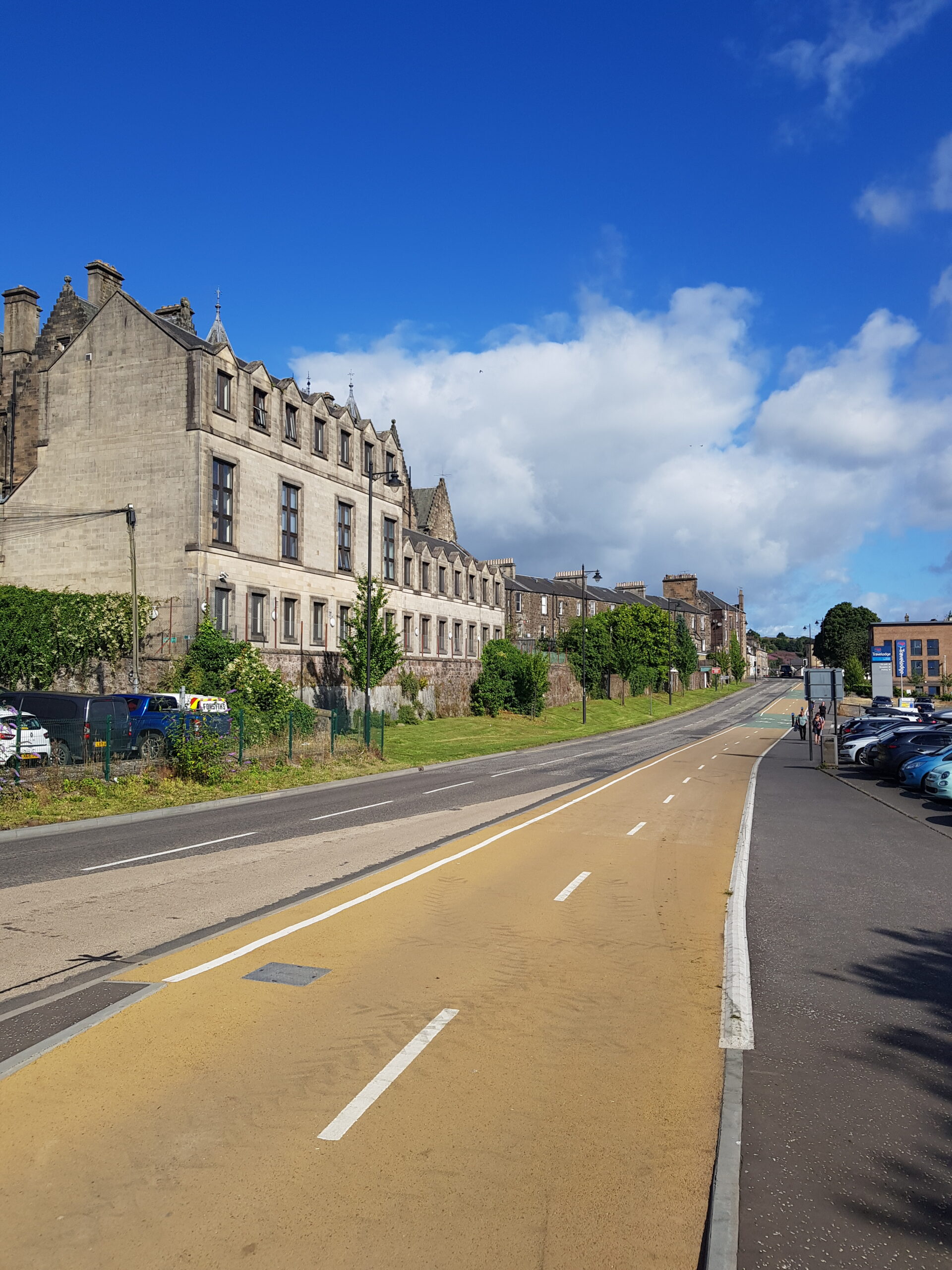
Walk, Cycle, Live Stirling Baseline Monitoring Report
Walk, Cycle, Live Stirling will build on the existing network of routes in Stirling and install new routes to create a comprehensive strategic network of high-quality cycle routes leading to the city centre. The routes will also provide better walking facilities and improved access for vulnerable users.
Roseburn to Union Canal
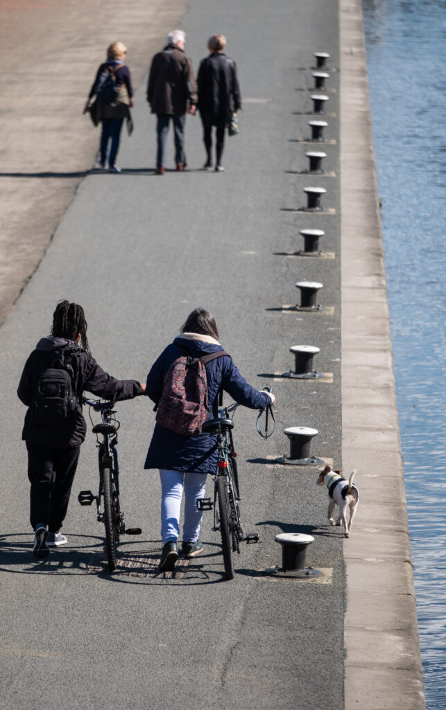
The Roseburn to Union Canal project aims to connect up existing active travel routes near Haymarket Station in Edinburgh and create community spaces through placemaking interventions. The project is currently under construction and this report presents the results of the baseline monitoring conducted before construction began.

Connecting Woodside
The Connecting Woodside project aims to create neighbourhood wide active travel network in the community of Woodside in Glasgow. The project is currently under construction and this report presents the results of the baseline monitoring conducted before construction began.
Inverness Space by the Water
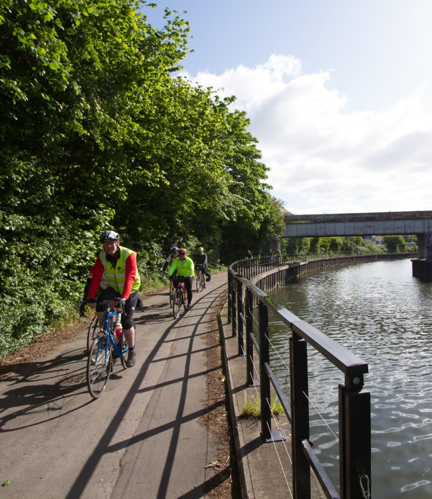
The Space by the Water project will improve the path surfaces and accessibility of the Caledonian Canal path network in the communities of Muirtown Basin, Merkinch and South Kessock in Inverness. The project is currently under construction and this report presents the results of the baseline monitoring conducted before construction began.
Dumfries New Hospital
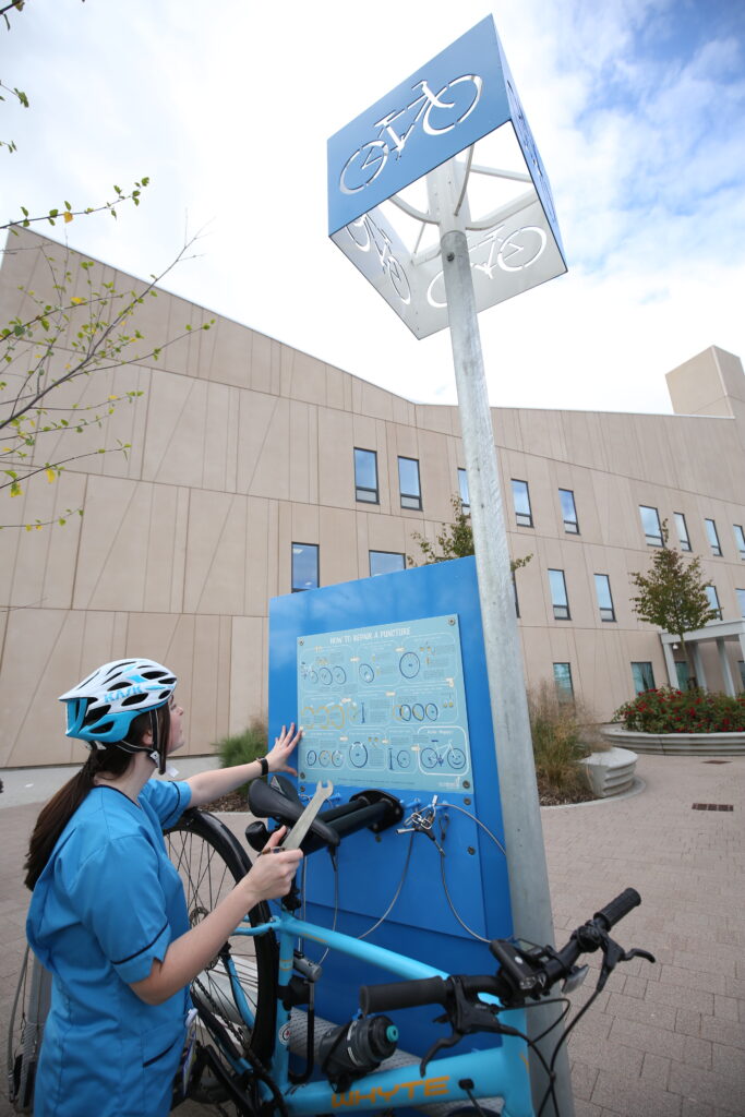
Dumfries & Galloway Council, with support from Sustrans, is delivering high quality active travel facilities for the new Dumfries & Galloway Royal Infirmary Hospital. A programme of monitoring will be delivered before and after construction of the infrastructure; this report details the findings at the baseline monitoring stage.
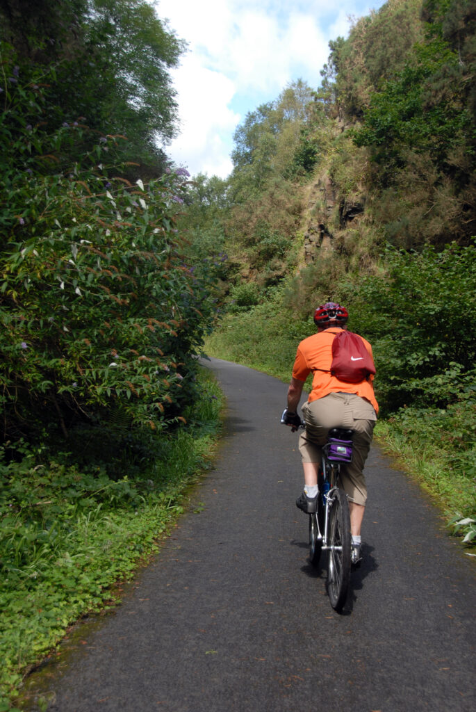
Balgray Link
The Balgray Link project aims to build a 2km long segregated cycle route connecting the communities of Barrhead and Newton Mearns and encompasses a 700m boardwalk overlooking the Balgray reservoir. This short report presents the baseline findings of a programme of monitoring delivered in 2019.
To request an alternative format for any of these reports or for any other questions, please contact monitoring@sustrans.org.uk.
