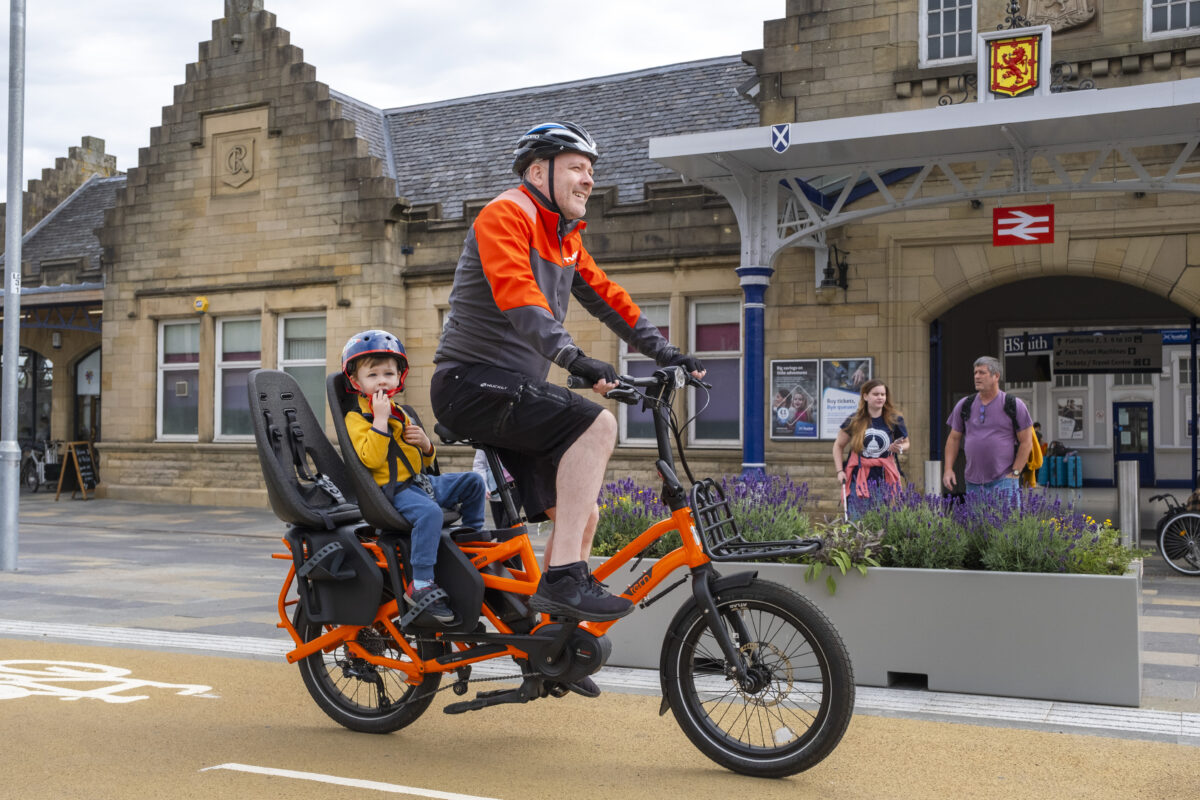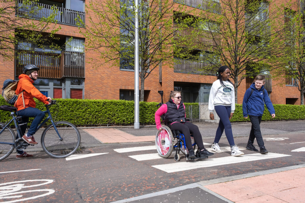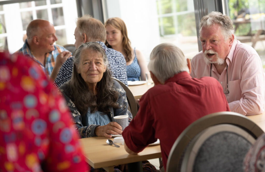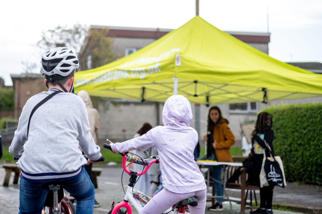
Increasing walking, wheeling, and cycling are all great ways improve physical and mental health.
However, active journeys are also a key part of the national response to the climate emergency, and our overall ambition to reach net zero carbon emissions.
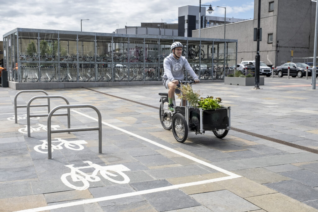
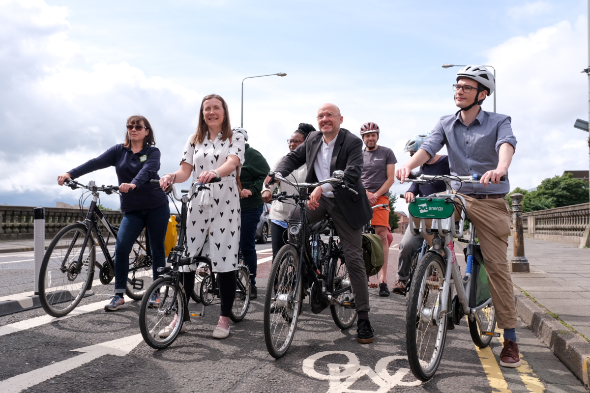
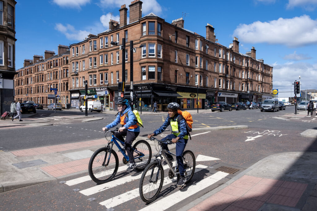
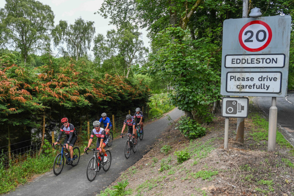
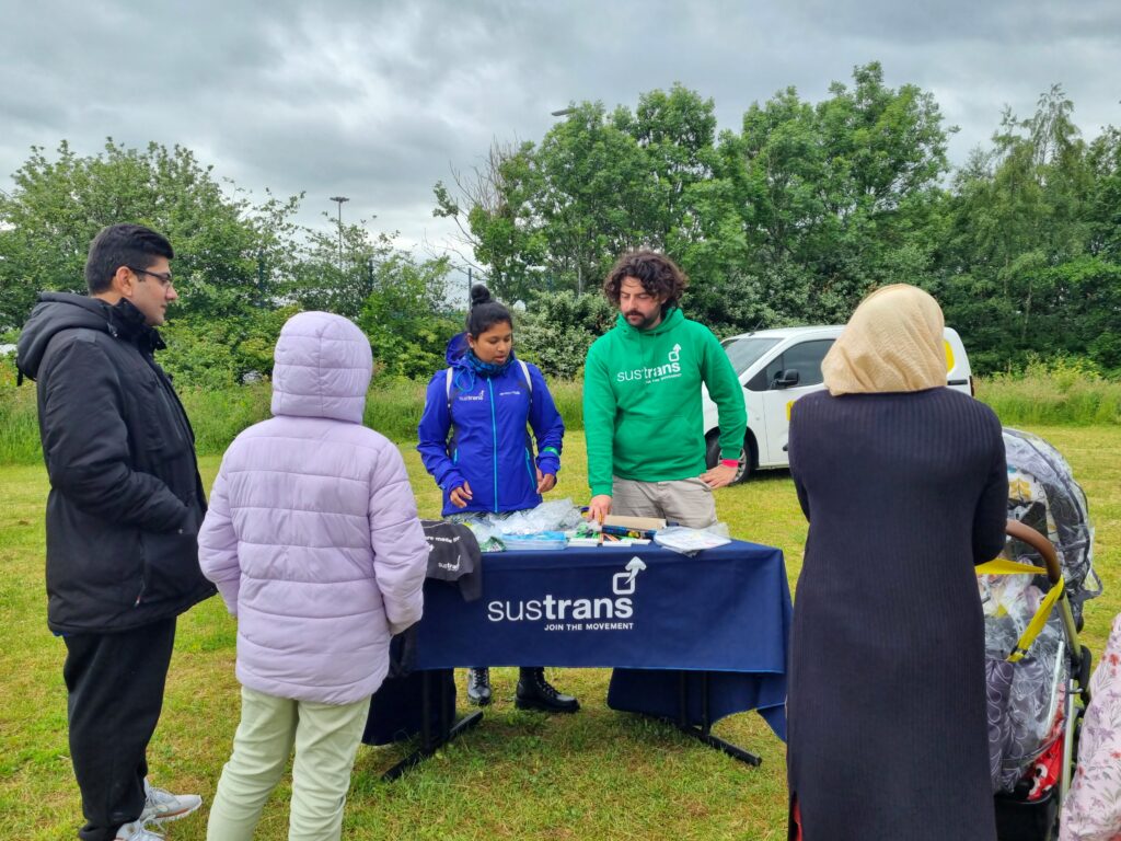
Through Places for Everyone, Sustrans is working with partners all across Scotland to deliver safe and accessible active travel infrastructure.
This includes new connections linking up isolated rural communities as well as expansive city-wide networks to help people get where they need to go.
As part of this, we want to ensure that every one of our projects is delivered in as sustainable a way as possible to reduce our own carbon emissions.
So how can we do it?
Outlining the techniques
How we approach the design and procurement of construction materials during project delivery can have a big impact on our carbon output.
When delivering infrastructure, it is helpful to think about what we can avoid, what we switch to as an alternative, and also what we can improve in the process.
What to avoid
Reducing the need for new construction can significantly increase project sustainability.
This might mean finding different ways to meet your goals without building new infrastructure at all, or by simply making the most out of what already exists through reuse or repurposing.
This approach encourages us to think creatively and sustainably to minimize new constructions.
- Utilising existing pathways: Before considering new constructions, explore if there are existing pathways that can be renovated or repurposed to suit the needs of the project. This might include old railway paths commonly used by the National Cycle Network, or old bridges that are no longer suitable for heavy vehicles but can carry lower loads.
- Multi-purpose facilities: Rather than building new assets, we can design spaces that serve multiple purposes, thus reducing the overall need for new constructions.
- Community Engagement: Engaging with the community can sometimes reveal alternatives and local insights that help in avoiding new constructions. For instance, local communities might propose efficient ways to repurpose existing assets that outsiders might not be aware of.
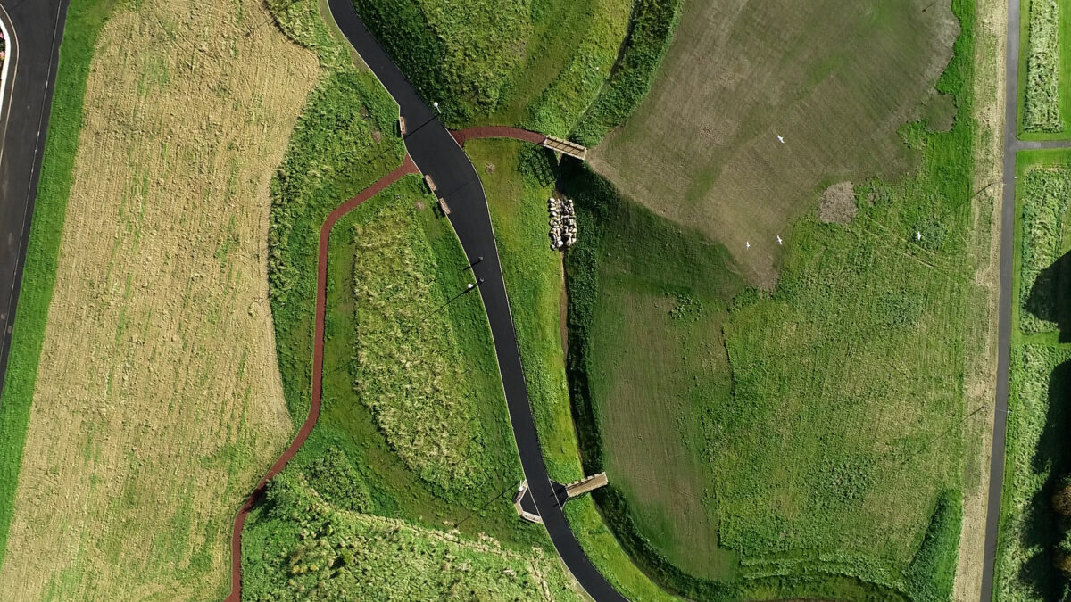
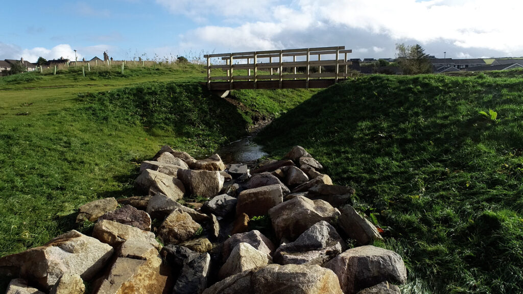
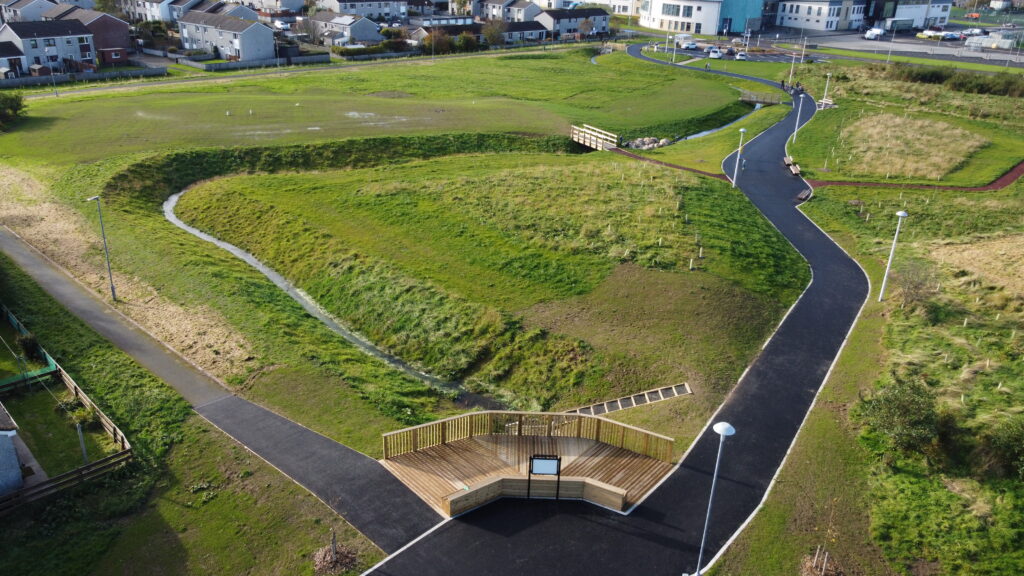
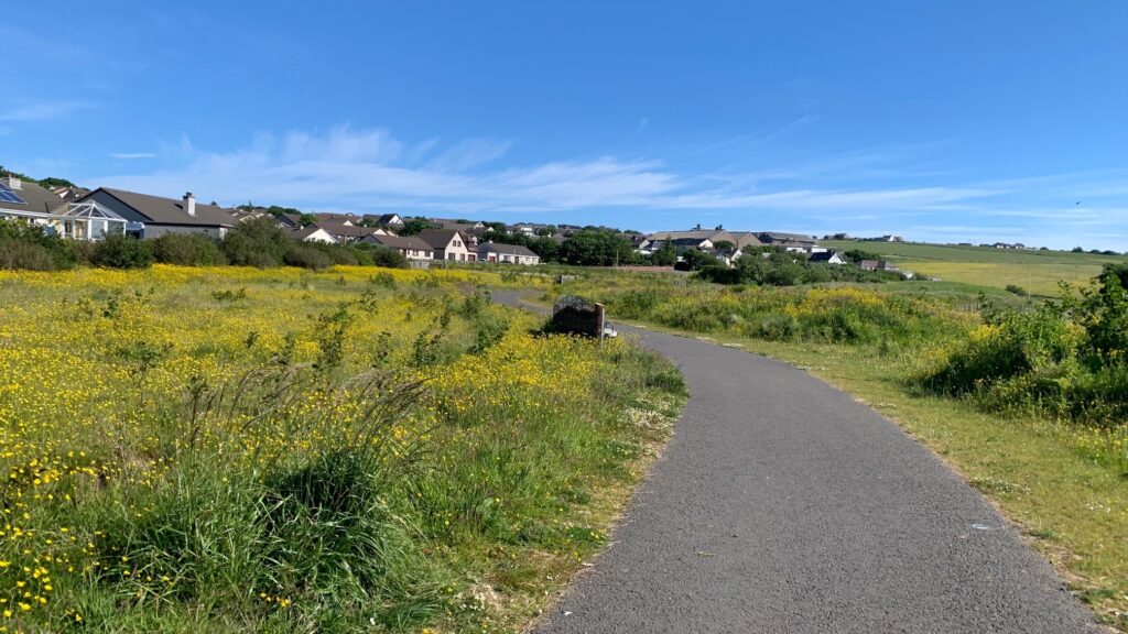
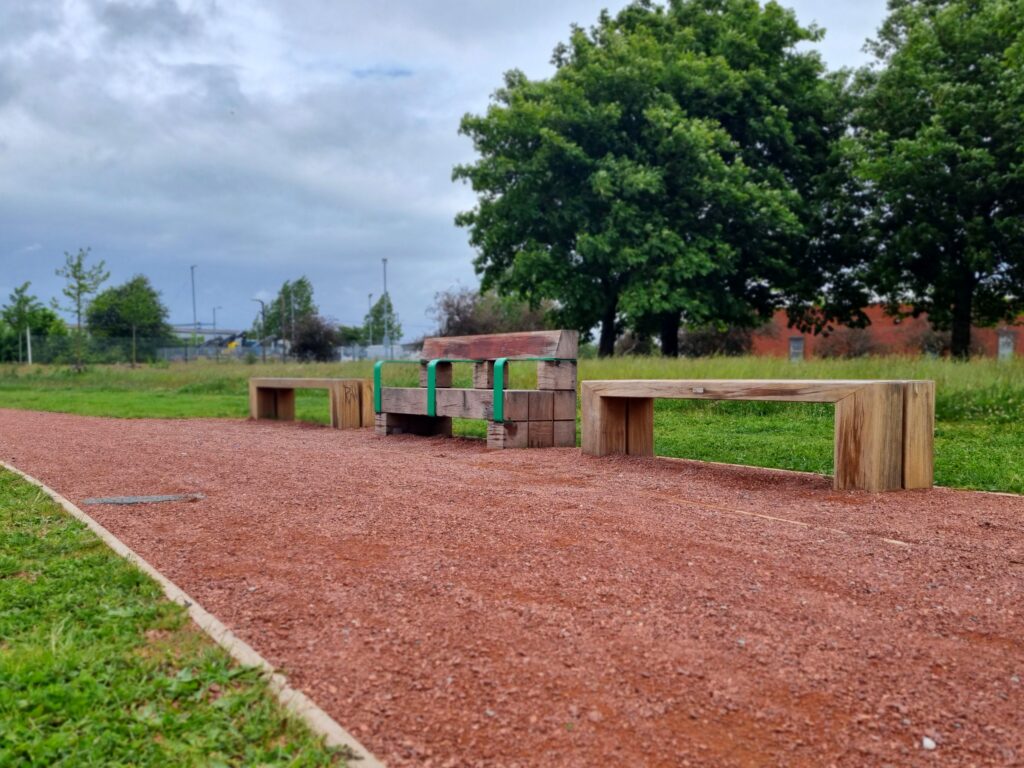
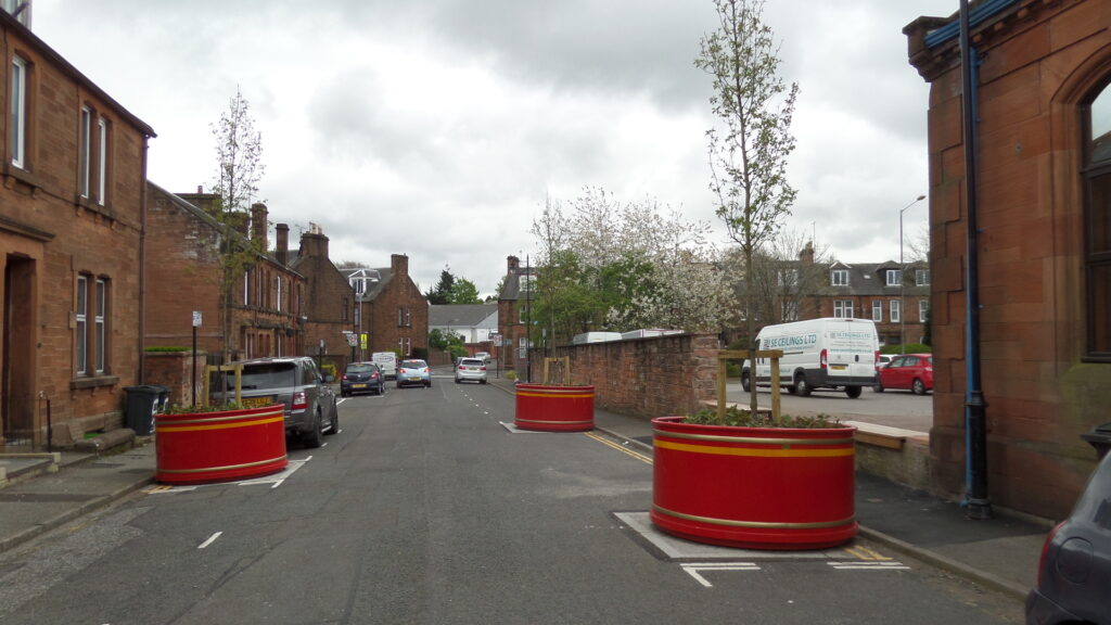
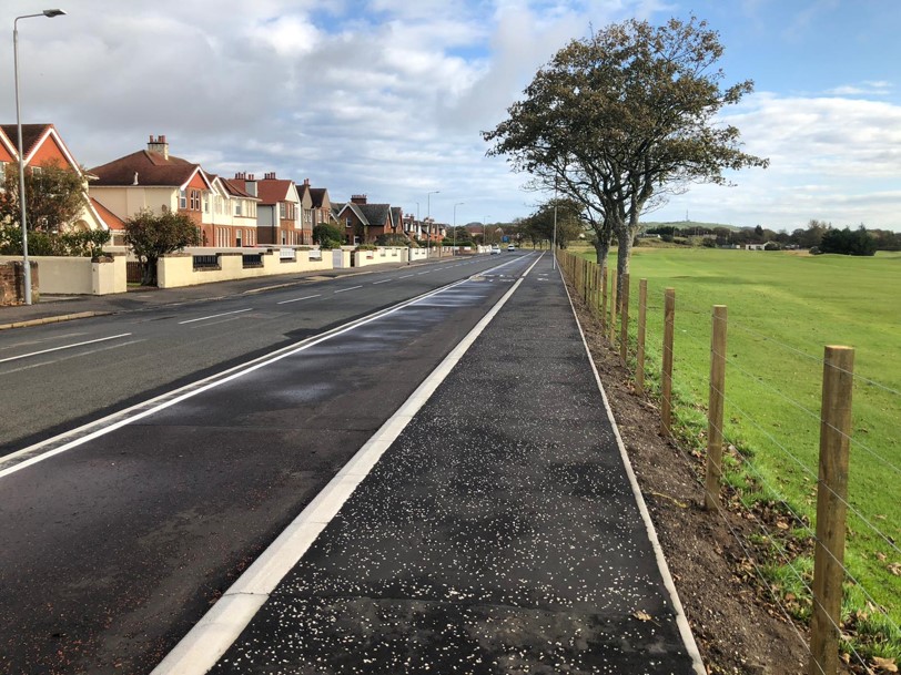
Forres Roysvale Park
In partnership with Moray Council, the Forres Roysvale Park project shows how excess road space can be used to implement sustainable drainage solutions. By narrowing the existing carriageway, a 3-metre-wide shared use path was introduced alongside tactical rain gardens. This not only provided a safe and direct link between Forres Academy and Applegrove primary and nearby residential areas, but also served to alleviate surface water issues.
Where to switch
Opting for alternatives without compromising on quality can result in major savings to your carbon footprint.
This might involve changing the project scope, redesigning the approach, choosing different materials, or technologies that are more eco-friendly.
- Sustainable Materials: Using recycled or recovered materials can significantly reduce the carbon emissions associated with the production of new materials.
- Low Carbon Technologies: Leveraging technologies that are more energy-efficient or that have a lower environmental impact, e.g., using electric plant vehicles used in construction.
- Nature-Based Solutions: Taking advantage of nature-based solutions, like creating green corridors which not only facilitate active travel but also enhance biodiversity.
- Permeable pavements: Using permeable pavements can aid in water management, reducing the need for separate drainage systems.
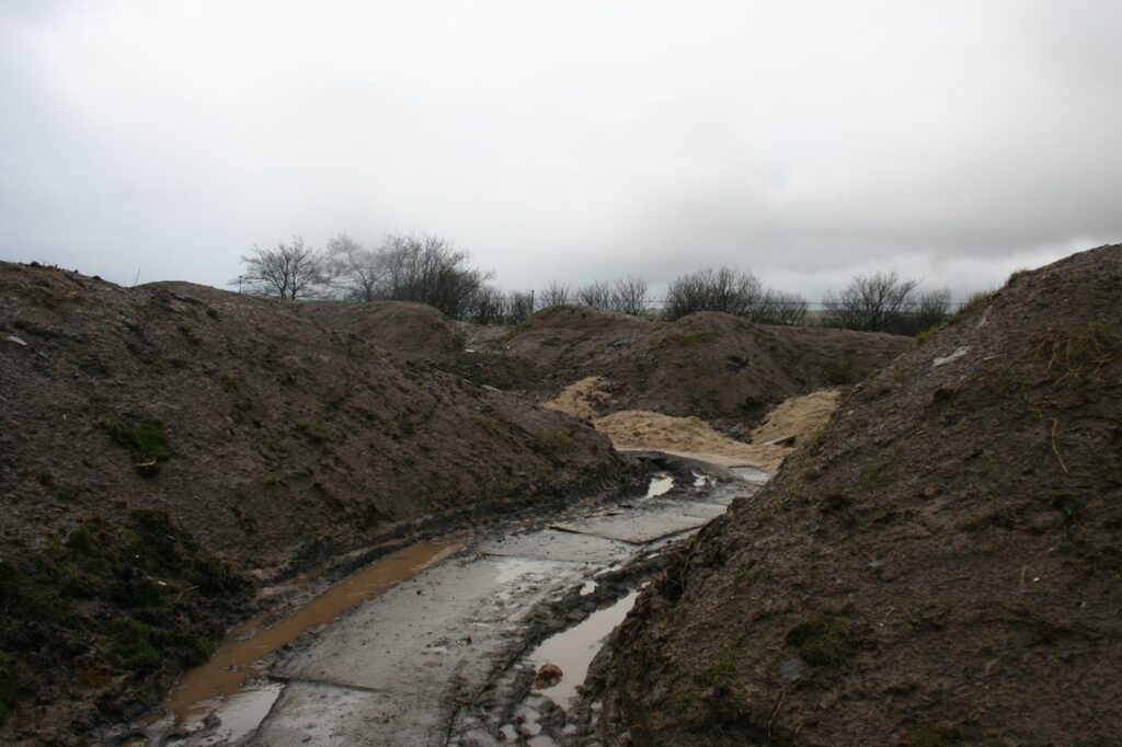
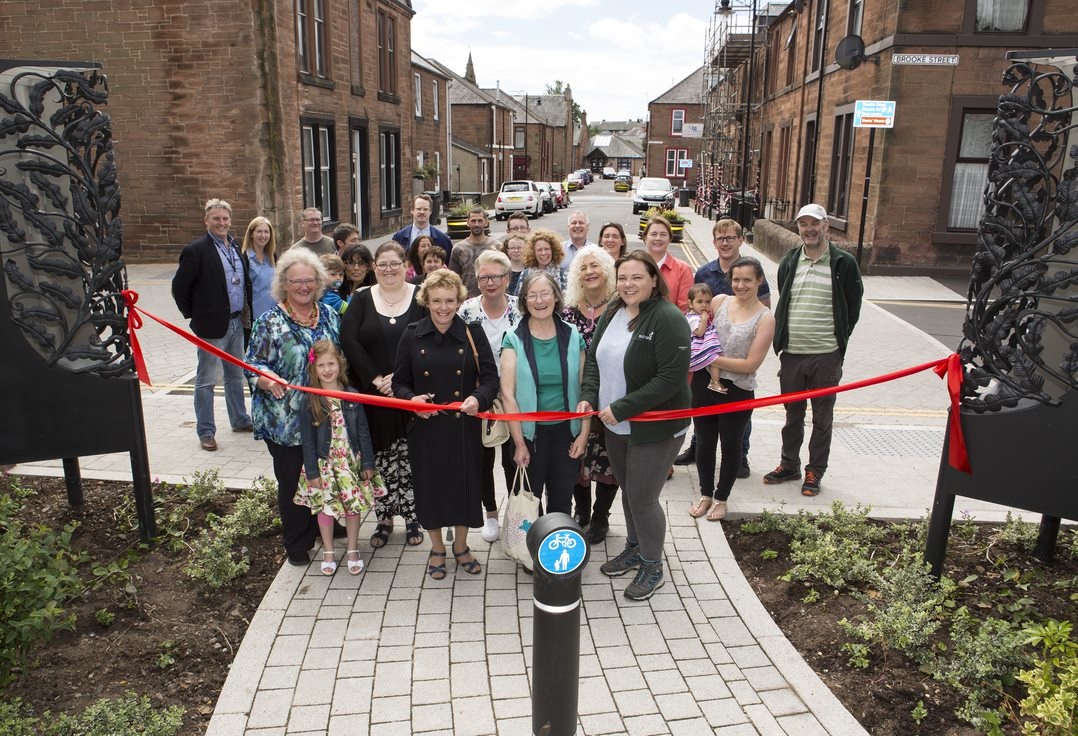
Loans to Troon Railway
In partnership with South Ayrshire Council and Ayrshire Roads Alliance, an all-new traffic-free route to join the settlements of Loans and Troon was completed in 2023. As well as providing a key active travel link, the Loans to Troon route is notable for being constructed from almost entirely recycled paving materials. This serves to create an affordable, long-lasting but also sustainable connection between key trip generators, such as Marr College and Troon train station.
How to improve
Increasing the sustainability of the materials being used for construction can sway the carbon output of a project significantly.
This can involve thinking about the longevity and durability of the materials being used and, ultimately, planning for its reuse or recycling.
- Circular Economy Principles: Applying circular economy principles might mean designing assets that can be easily dismantled and the materials reused or recycled, thereby reducing waste.
- Long-life, low maintenance materials: Reducing the need to maintain and increasing time before resurfacing is needed in the future will help reducing carbon emitted during the lifetime of an asset.
- Native landscaping: Integrate local plants alongside paths. These require less water and maintenance, sequester carbon, and enhance the appeal of the path, encouraging more use.
- Inclusive Design and Aesthetic Design: Ensuring the pathway is accessible to people of all ages and abilities not only promotes inclusivity but also encourages more people to use the pathway, potentially reducing carbon emissions from reduced car use. Making the pathway attractive, possibly through the inclusion of art installations or well-designed green spaces, can encourage more people to use it, fostering a sense of community while also reducing carbon emissions through reduced car usage.
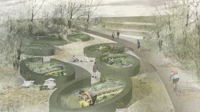
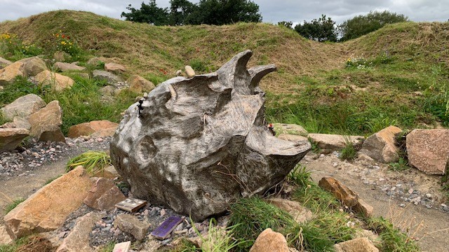
Roseburn to Union Canal
With the City of Edinburgh Council, work is underway to link the Union Canal with the North Edinburgh Path Network via a new traffic-free route. Inaccessible areas of decaying shrubland will be restored via tree planting and community gardens. This not only delivers a valuable connection from north to south, but also a new green corridor.
The above guidelines have been categorised according to the PAS 2080 Carbon Management in Infrastructure standard, which supports organisations wanting to lower emissions from their construction activities.
For further information, please see the Carbon Management in Buildings and Infrastructure report.